Bangey Heights facts for kids
The Bangey Heights (Bulgarian: Бангейски възвишения, ‘Bangeyski Vazvisheniya’ \ban-'gey-ski v&-zvi-'she-ni-ya\) are in Antarctica. They are the heights rising to 2900 m at Bezden Peak in north-central Sentinel Range in Ellsworth Mountains, extending 12 km in southwest-northeast direction and 10 km in northwest-southeast direction. They are bounded by Patleyna Glacier to the west, Embree Glacier to the northwest and northeast, and Kopsis Glacier to the southeast, and linked to Probuda Ridge to the southwest by Chepino Saddle, and to Maglenik Heights to the south by Panicheri Gap. Their interior is drained by Marsa Glacier and Padala Glacier.
The heights are named after the settlement of Bangeytsi in northern Bulgaria.
Location
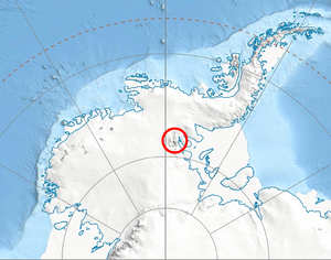
Bangey Heights are centred at 78°02′30″S 85°34′00″W / 78.04167°S 85.56667°W. US mapping in 1961, updated in 1988.
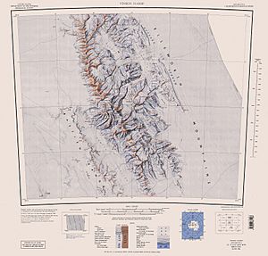
Maps


