Christmas Creek, Queensland facts for kids
Quick facts for kids Christmas CreekQueensland |
|||||||||||||||
|---|---|---|---|---|---|---|---|---|---|---|---|---|---|---|---|

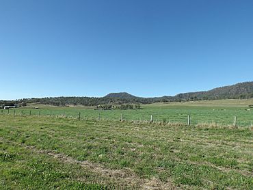
Fields along Christmas Creek Road, 2014
|
|||||||||||||||
| Population | 53 (2016 census) | ||||||||||||||
| • Density | 1.286/km2 (3.33/sq mi) | ||||||||||||||
| Postcode(s) | 4285 | ||||||||||||||
| Area | 41.2 km2 (15.9 sq mi) | ||||||||||||||
| Time zone | AEST (UTC+10:00) | ||||||||||||||
| Location |
|
||||||||||||||
| LGA(s) | Scenic Rim Region | ||||||||||||||
| State electorate(s) | Scenic Rim | ||||||||||||||
| Federal Division(s) | Wright | ||||||||||||||
|
|||||||||||||||
Christmas Creek is a rural locality in the Scenic Rim Region, Queensland, Australia. In the 2016 census Christmas Creek had a population of 53 people.
Contents
History
Like many places in South East Queensland the first industry to developed was timber-getting. Agriculture soon became the area's main industry.
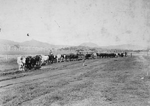
The Beaudesert Shire Tramway had a station at Christmas Creek. The station was once known as Lillybank and for several years was the line's terminus.
Heritage listings
Christmas Creek has the following heritage sites:
- 1441 Christmas Creek Road: Catholic Church and Cemetery
Demographics
Christmas Creek has a population of 53 at the 2016 census. The locality contains 34 households, in which 50.0% of the population are males and 50.0% of the population are females with a median age of 54, 16 years above the national average. The average weekly household income is $933, $505 below the national average.
Education
There are no schools in Christmas Creek. The nearest primary school is Hillview State School in neighbouring Hillview. The nearest secondary school is Beaudesert State High School in Beaudesert .


