Crestline, Kansas facts for kids
Quick facts for kids
Crestline, Kansas
|
|
|---|---|

|
|
| Country | United States |
| State | Kansas |
| County | Cherokee |
| Elevation | 869 ft (265 m) |
| Time zone | UTC-6 (CST) |
| • Summer (DST) | UTC-5 (CDT) |
| ZIP code |
66728
|
| Area code | 620 |
| FIPS code | 20-16325 |
| GNIS ID | 469323 |
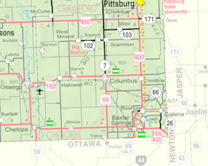
Crestline is an unincorporated community in Cherokee County, Kansas, United States. Crestline is located on U.S. Route 400 7.5 miles (12.1 km) east of Columbus. Crestline has a post office with ZIP code 66728.
History
Crestline was a station on the St. Louis–San Francisco Railway.
- History of Cherokee County, Kansas; Nathanial Allison; Biographical Publishing; 646 pages; 1904. (Download 31MB PDF eBook)
Demographics
For statistical purposes, the United States Census Bureau has defined this community as a census-designated place (CDP).

All content from Kiddle encyclopedia articles (including the article images and facts) can be freely used under Attribution-ShareAlike license, unless stated otherwise. Cite this article:
Crestline, Kansas Facts for Kids. Kiddle Encyclopedia.


