
Danevang, Texas facts for kids
Quick facts for kids
Danevang, Texas
|
|
|---|---|

Post Office
|
|

Danevang, Texas
Location in Texas
|
|
| Country | United States |
| State | Texas |
| County | Wharton |
| Elevation | 69 ft (21 m) |
| Time zone | UTC-6 (Central (CST)) |
| • Summer (DST) | UTC-5 (CDT) |
| ZIP code |
77432
|
| Area code(s) | 979 |
| FIPS code | 48-48481 |
| GNIS feature ID | 1355629 |
Danevang is an unincorporated community in southern Wharton County, in the U.S. state of Texas. The rural community is located south of El Campo on State Highway 71 (SH 71). The name Danevang means Dane Meadow. The town was founded in the 1890s mostly by Danes who migrated from the American Midwest. After a period of prosperity people began moving away in the 1920s. The community's church was still open in 2013.
Geography
Danevang is on SH 71 at County Road 424 a distance of 10.8 miles (17.4 km) south of El Campo and 8.5 miles (13.7 km) north of Midfield in Matagorda County. Near the crossroads is a US post office, several agricultural storage buildings and a number of dwellings. The Danish Heritage Museum is 1.0 mile (1.6 km) to the south at the junction of SH 71 and FM 441. The Danevang Lutheran Church is a short distance to the east of the museum on County Road 426. Land under agriculture surrounds the homes and other buildings at the site.
-
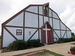
Danish Heritage Museum main building is at Hwy 71 and CR 426.
-
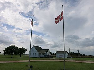
Danish and USA flags fly over the museum grounds.
-
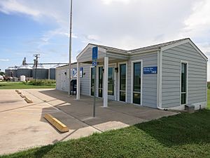
US Post Office is at Hwy 71 and CR 424. Silos in the background show farming's importance locally.


History
Danevang was established by Danish settlers in 1895.
-
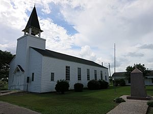
The Danevang Lutheran Church is on CR 426.
-
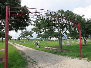
Danevang Lutheran Cemetery (Est. 1895) is on CR 426.
-
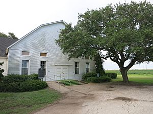
Historic community hall (Forsamlingshus) is next to the church.


Climate
The climate in this area is characterized by hot, humid summers and generally mild to cool winters. According to the Köppen Climate Classification system, Danevang has a humid subtropical climate, abbreviated "Cfa" on climate maps.
