
Image: 01046jfManggahan Floodway Sunsets Daang Pasig River Bridge Rosario Weir Flood Gatesfvf 05
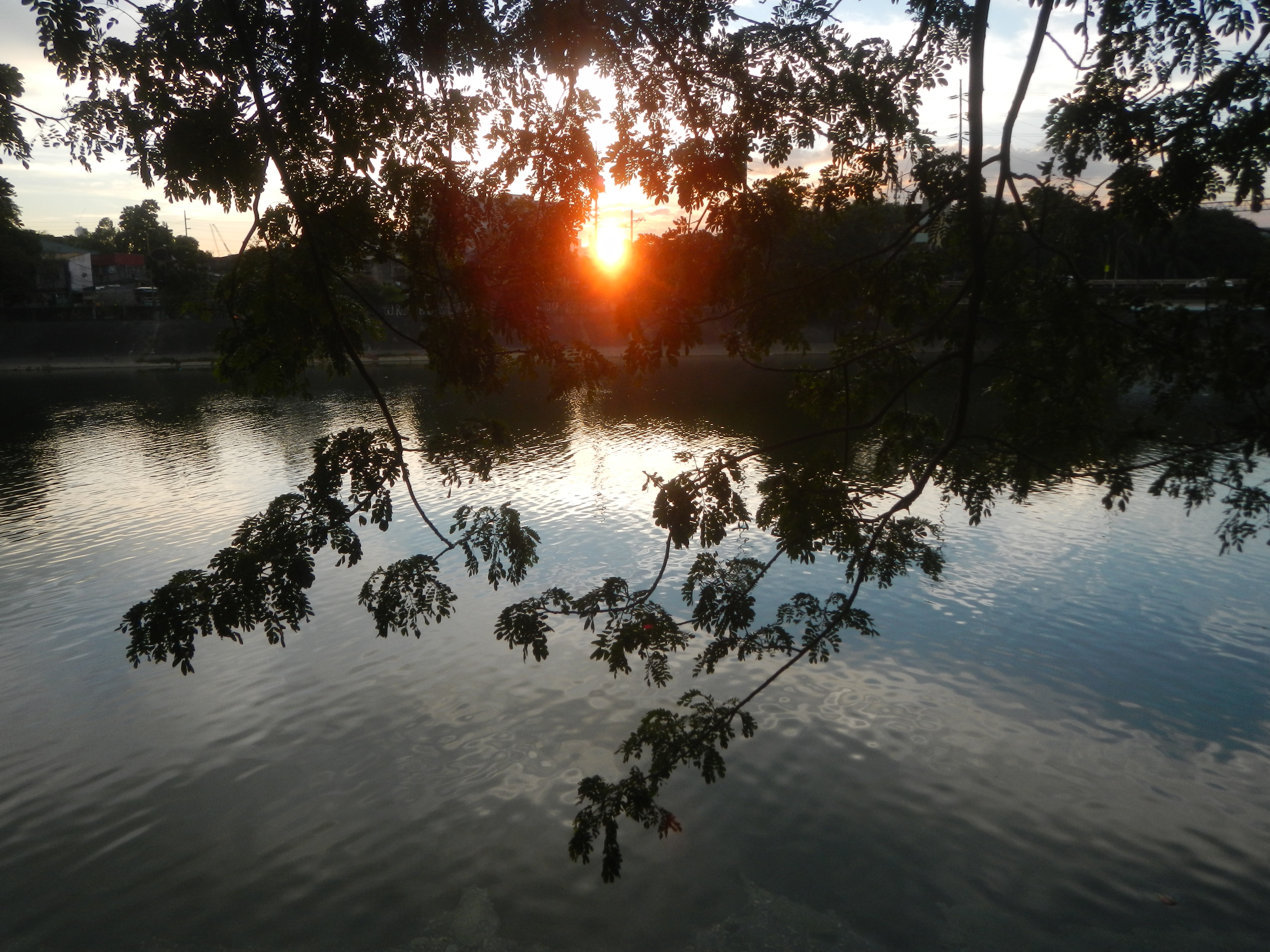
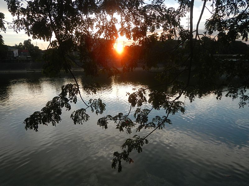
Description: Sunsets in Pasig City Manggahan Floodway Landmarks (include the Manggahan Floodway - Daang Pasig Bridge - Rosario Weir Flood Gates (Pasig River, East Bank Road - Victorio G. Ignacio Boulevard - Amang Rodriguez Avenue, Pasig City) 20 metric tons Load limit K0019+819 - K0019+611 Length 208 meters from Marikina–Infanta Highway Marcos Highway or MARILAQUE Highway or Manila-Rizal-Laguna-Quezon, Pasig PS-25, Barangay Manggahan Hall, Super Health Center, Pasig City Multi-Purpose Building and Manngahan Gender and Development Center Complex Metropolitan Manila Development Authority, Flood Control and Sewerage Management, First East Metro Manila Flood Control Operation FEMMFCOD Effective Flood Control Operation System EFCOS Project Steel Centre Philippines, Inc. Daang Pasig Bridge 14°35'50"N 121°5'24"E Manggahan Floodway Latitude: 14.533700 Longitude: 121.129997 Rosario Weir Flood Gates Metropolitan Manila Development Authority East Bank Road 14°33'58"N 121°6'31"E Victorio G. Ignacio Boulevard Boulevard Eulogio Amang Rodriguez Avenue 14°36'24"N 121°5'31"E Legislative district of Pasig City List of barangays of Metro Manila, Barangays, Dela Paz 14°36'49"N 121°5'53"E Manggahan 14°36'2"N 121°5'51"E Pasig City; (Note: Judge Florentino Floro, the owner, to repeat, Donor Florentino Floro of all these photos hereby donate gratuitously, freely and unconditionally all these photos to and for Wikimedia Commons, exclusively, for public use of the public domain, and again without any condition whatsoever).
Title: 01046jfManggahan Floodway Sunsets Daang Pasig River Bridge Rosario Weir Flood Gatesfvf 05
Credit: Own work
Author: Judgefloro
Usage Terms: Public domain
License: Public domain
Attribution Required?: No
Image usage
The following page links to this image:
