
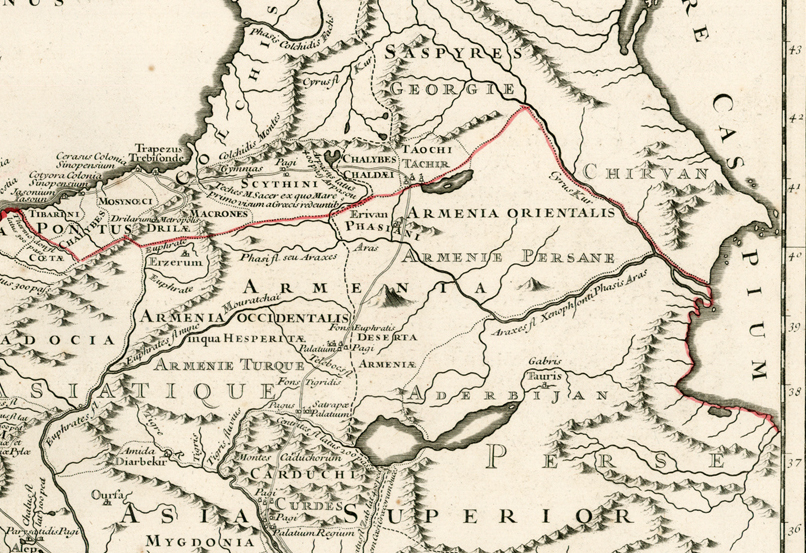
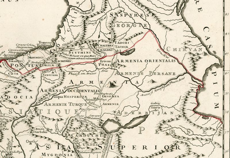
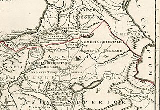
Image: 1740 map of Armenia
Size of this preview: 800 × 549 pixels. Other resolutions: 320 × 220 pixels | 806 × 553 pixels.
Original image (806 × 553 pixels, file size: 560 KB, MIME type: image/jpeg)
Description: Армения на карте 1740 года
Title: 1740 map of Armenia
Credit: http://www.raremaps.com/gallery/detail/22549/Retraite_Des_Dix_Mille_Tabula_conspectum_exhibens_Regionum_omnium_quas/Buache.html
Author: Philippe Buache
Usage Terms: Public domain
License: Public domain
Attribution Required?: No
Image usage
The following 2 pages link to this image:

All content from Kiddle encyclopedia articles (including the article images and facts) can be freely used under Attribution-ShareAlike license, unless stated otherwise.