
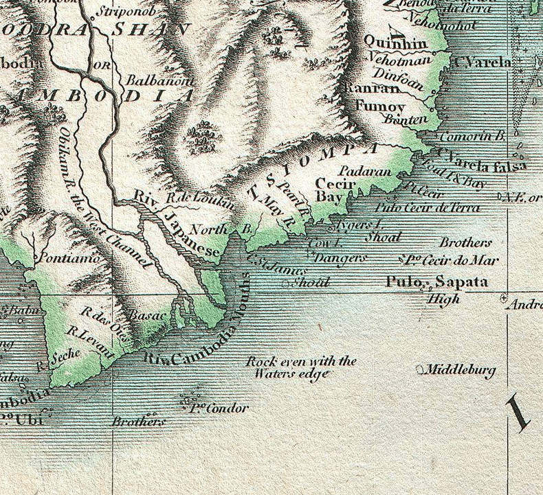
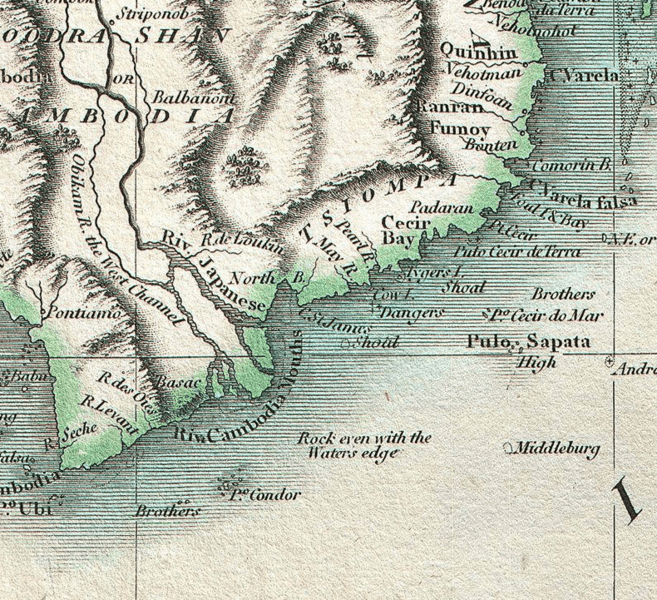
Image: 1801 Cary Map of the East Indies and Southeast Asia signifying Champa
Description: Taken from John Cary’s important 1801 Map of the East Indies perfectly showing TSIOMPA (Champa)
Title: 1801 Cary Map of the East Indies and Southeast Asia signifying Champa
Credit: This file has been extracted from another file
Author: Part of the Map of the East Indies by John Cary, published in Cary's New Universal Atlas, containing distinct maps of all the principal states and kingdoms throughout the World. From the latest and best authorities extant. London: Printed for J. Cary, Engraver and Map-seller, No. 181, near Norfolk Street, Strand, 1808. (see complete version below)
Usage Terms: Creative Commons Attribution-Share Alike 3.0
License: CC-BY-SA-3.0
License Link: http://creativecommons.org/licenses/by-sa/3.0/
Attribution Required?: Yes
Image usage
The following page links to this image:
