
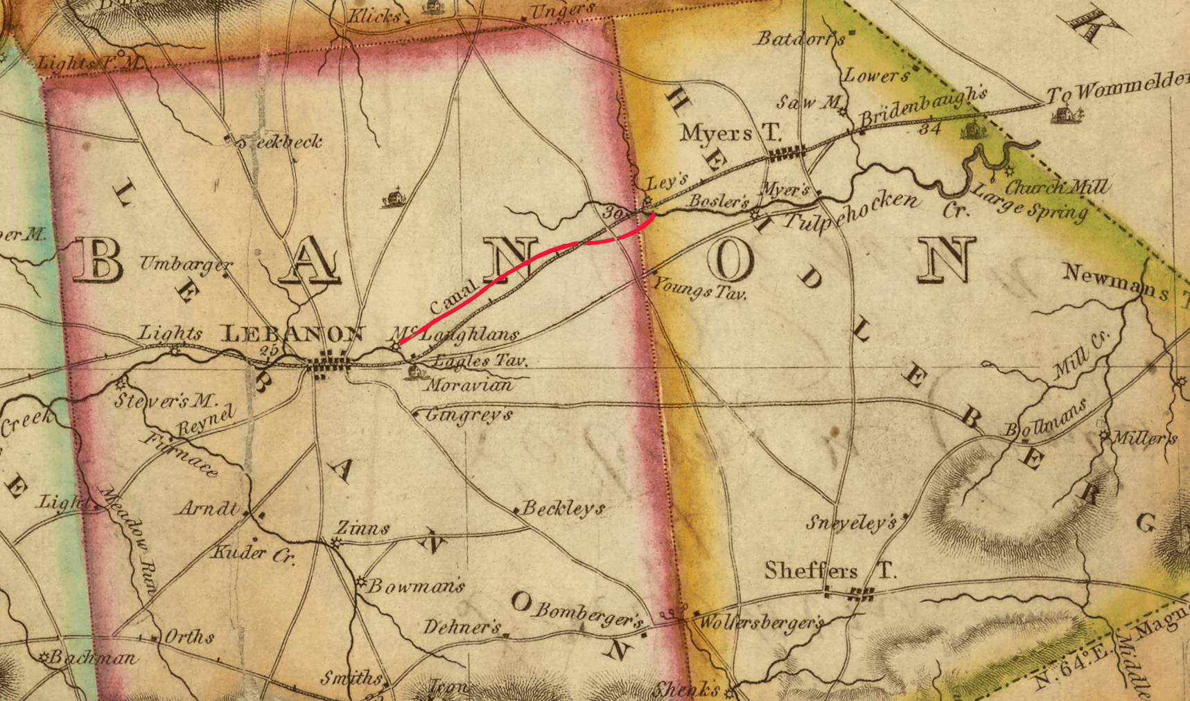
Image: 1816 map of Lebanon County Pennsylvania showing 1794 Schuylkill and Susquehanna Navigation company summit crossing construction
Size of this preview: 800 × 472 pixels. Other resolutions: 320 × 189 pixels | 1,717 × 1,012 pixels.
Original image (1,717 × 1,012 pixels, file size: 3.37 MB, MIME type: image/png)
Description: 1816 map of Lebanon County Pennsylvania showing 1794 Schuylkill and Susquehanna Navigation company summit crossing construction between Lebanon and Myerstown, Pennsylvania.
Title: 1816 map of Lebanon County Pennsylvania showing 1794 Schuylkill and Susquehanna Navigation company summit crossing construction
Credit: https://digitalcollections.nypl.org/items/c7f6a500-e21a-0132-0bb3-58d385a7bbd0
Author: Thomas Smith
Permission: https://digitalcollections.nypl.org/items/c7f6a500-e21a-0132-0bb3-58d385a7bbd0
Usage Terms: Public domain
License: Public domain
Attribution Required?: No
Image usage
The following page links to this image:

All content from Kiddle encyclopedia articles (including the article images and facts) can be freely used under Attribution-ShareAlike license, unless stated otherwise.