
Image: 1852 FitchburgRR Boston McIntyre map detail
Size of this preview: 744 × 600 pixels. Other resolutions: 298 × 240 pixels | 1,244 × 1,003 pixels.
Original image (1,244 × 1,003 pixels, file size: 216 KB, MIME type: image/jpeg)
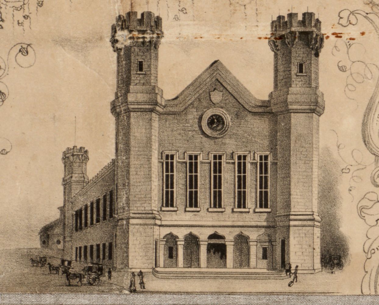
Description: Fitchburg depot, Boston, 1852. Detail from: Henry McIntyre's "Map of the City of Boston and Immediate Neighborhood." (Published by H. McIntyre, No.17 Doane St., Boston, & N.E. Cor. of Perry & Pine Sts. Philadelphia, 1852. Friend & Aub lith. Wagner & McGuigan's Steam Lith. Press, Philadelphia).
Title: 1852 FitchburgRR Boston McIntyre map detail
Credit: Boston Public Library. http://maps.bpl.org/details_10180
Author: McIntyre
Usage Terms: Public domain
License: Public domain
Attribution Required?: No
Image usage
The following page links to this image:

All content from Kiddle encyclopedia articles (including the article images and facts) can be freely used under Attribution-ShareAlike license, unless stated otherwise.