
Image: 1870 Nicaragua Canal Map Restoration
Size of this preview: 800 × 450 pixels. Other resolutions: 320 × 180 pixels | 2,685 × 1,510 pixels.
Original image (2,685 × 1,510 pixels, file size: 2.1 MB, MIME type: image/png)
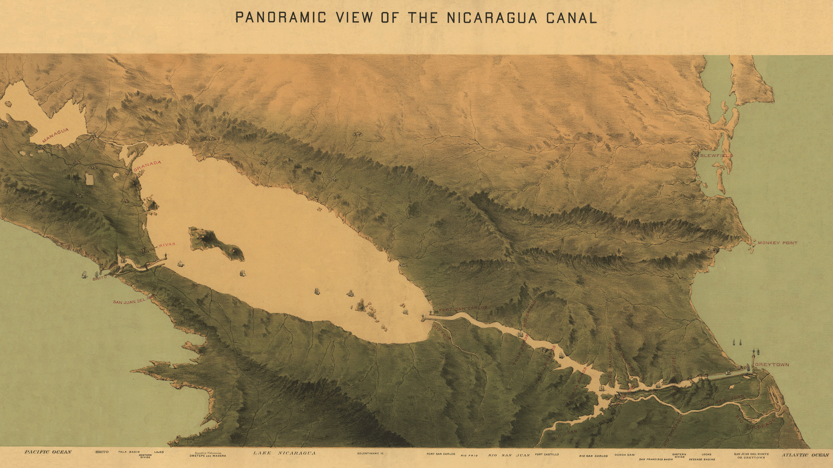
Description: A c.1870 map of a plan for the Nicaragua Canal, drawn up by Julius Bien & Company. The map follows the southern route proposal.
Title: 1870 Nicaragua Canal Map Restoration
Credit: The Great Interoceanic Nicaragua Canal
Author: Julius Bien & Company
Permission: Per this, the map was published and registered with the United States Department of War.
Usage Terms: Public domain
License: Public domain
Attribution Required?: No
Image usage
The following 2 pages link to this image:

All content from Kiddle encyclopedia articles (including the article images and facts) can be freely used under Attribution-ShareAlike license, unless stated otherwise.