
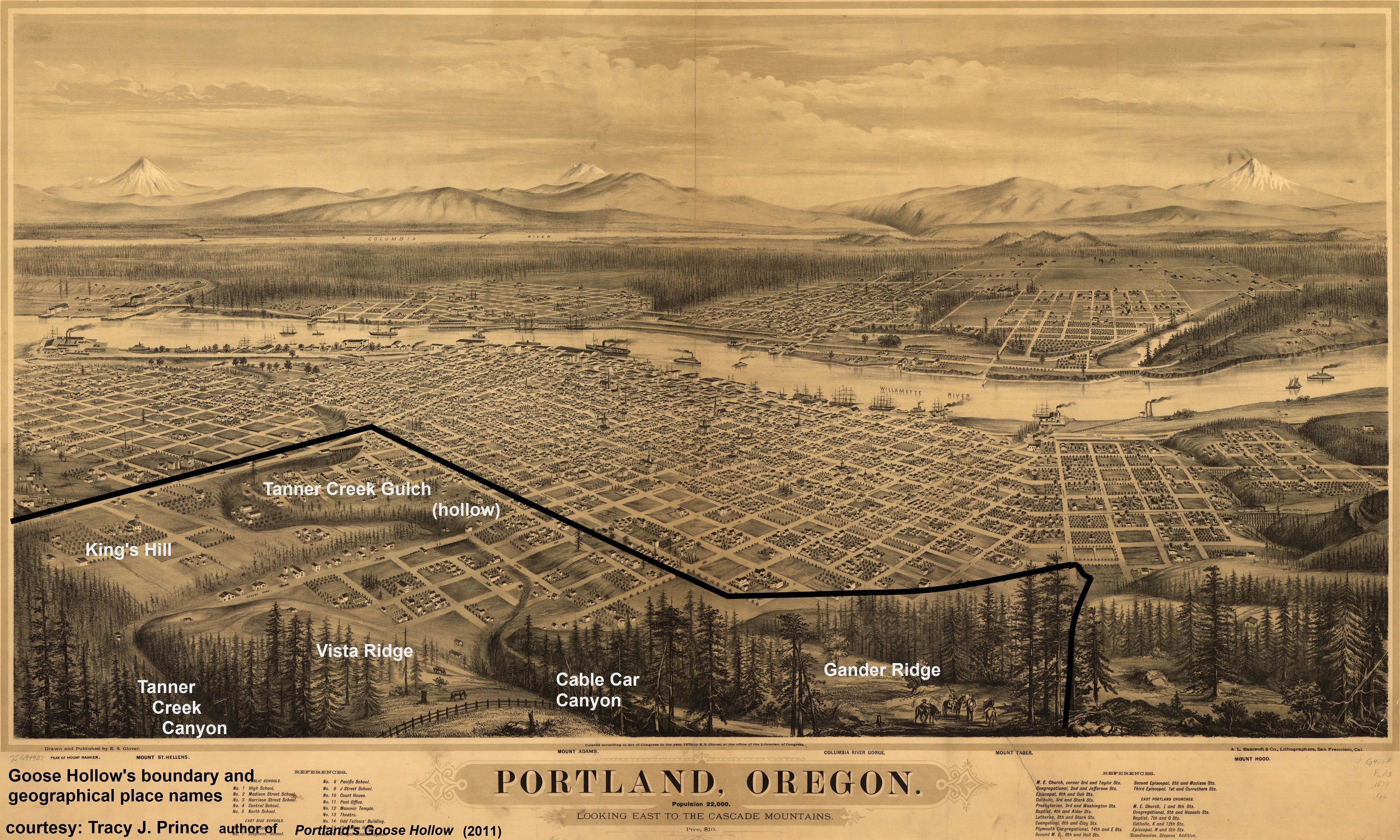
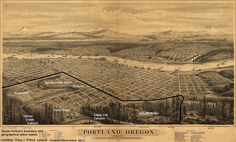
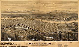
Image: 1879 map of Portland, Oregon with Goose Hollow boundary and geographical place names overlaid
Size of this preview: 800 × 480 pixels. Other resolutions: 320 × 192 pixels | 5,000 × 3,000 pixels.
Original image (5,000 × 3,000 pixels, file size: 8.84 MB, MIME type: image/jpeg)
Description: Goose Hollow's contemporary boundaries and geographical place names overlaid onto an 1879 map. This map shows the now infilled hollow (Tanner Creek Gulch) in incredible detail.
Title: 1879 map of Portland, Oregon with Goose Hollow boundary and geographical place names overlaid
Credit: Own work
Author: Zszs54321
Usage Terms: Creative Commons Attribution-Share Alike 3.0
License: CC BY-SA 3.0
License Link: http://creativecommons.org/licenses/by-sa/3.0
Attribution Required?: Yes
Image usage
The following page links to this image:

All content from Kiddle encyclopedia articles (including the article images and facts) can be freely used under Attribution-ShareAlike license, unless stated otherwise.