
Image: 1880map San Fernando Valley SE
Size of this preview: 800 × 506 pixels. Other resolutions: 320 × 202 pixels | 2,441 × 1,544 pixels.
Original image (2,441 × 1,544 pixels, file size: 990 KB, MIME type: image/jpeg)
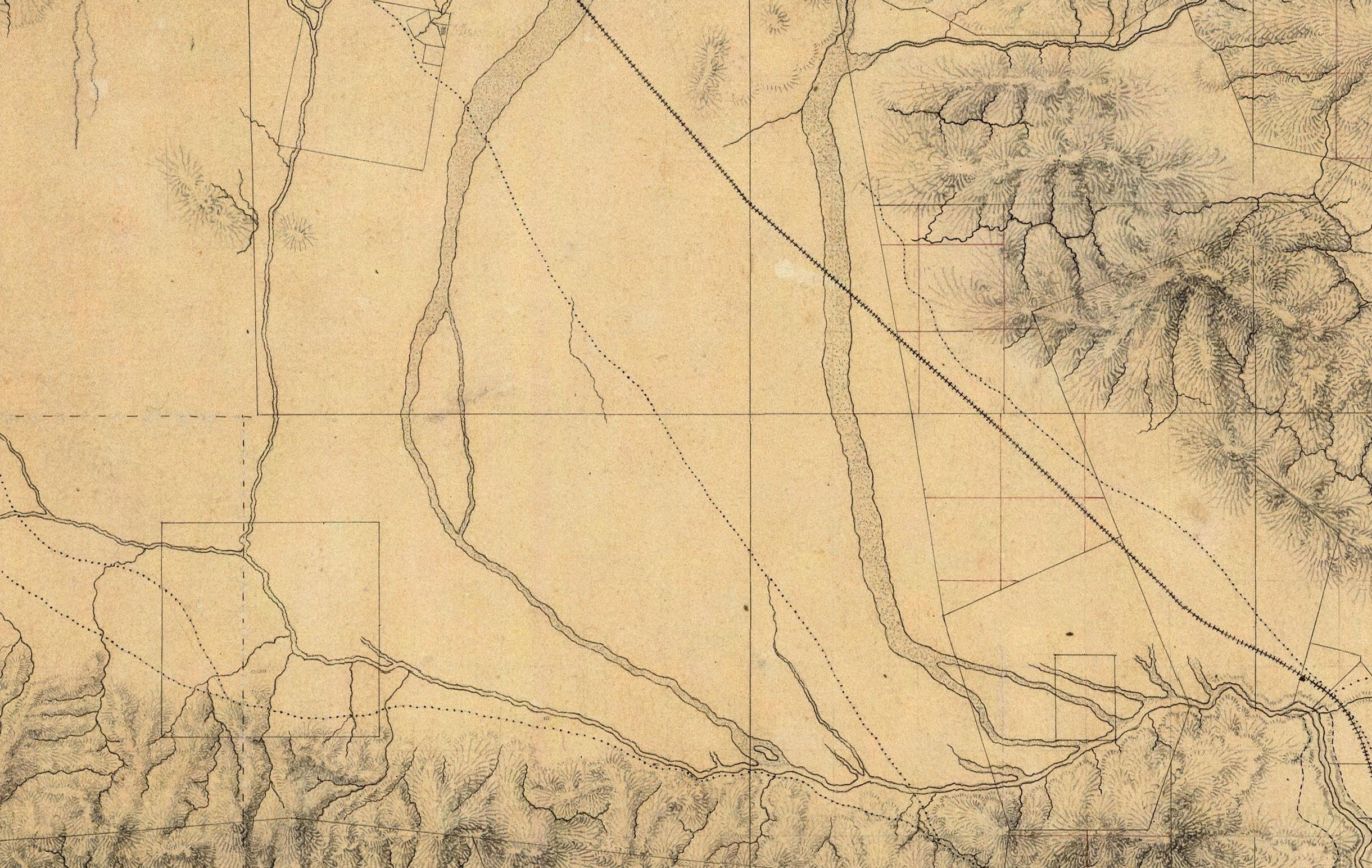
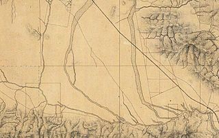
Description: Detail of the central and southeastern San Fernando Valley, from a manuscript map of Los Angeles and San Bernardino topography, 1880, by William Hammond Hall, Office of the State Engineer, California. The map shows Rancho Los Encinos or Rancho El Encino (lower left), Mission San Fernando Rey de España (center top), and the Tujunga River channels. The Los Angeles River and its other tributaries are also shown.
Title: 1880map San Fernando Valley SE
Credit: David Rumsey Map Collection
Author: William Hammond Hall
Usage Terms: Public domain
License: Public domain
Attribution Required?: No
Image usage
The following page links to this image:

All content from Kiddle encyclopedia articles (including the article images and facts) can be freely used under Attribution-ShareAlike license, unless stated otherwise.