
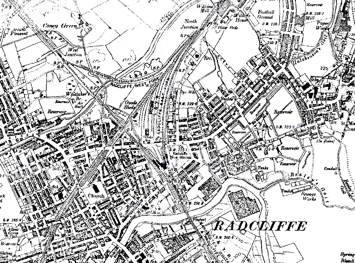
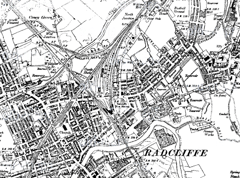
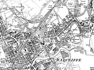
Image: 1911 radcliffe manchester
Description: A map of Radcliffe, Greater Manchester, from a 1911 Ordnance Survey map. The original ELR line can be seen running bottom left to top right. The later L&YR line arrives from the bottom and curves right to meet the ELR line. Radcliffe New Station is roughly in the centre, Radcliffe Bridge Station is on the bottom left just underneath Green Street. Radcliffe Bridge (originally a hamlet of Radcliffe is at the bottom edge of the map, and Radcliffe (the original settlement) is to the extreme right.
Title: 1911 radcliffe manchester
Credit: LANCASHIRE AND FURNESS 1:10,560, http://www.old-maps.co.uk/indexmappage2.aspx?action=forcexy&easting=378700&northing=407500 - this link will take you to the earliest map on the site, for newer maps follow the links along the bottom edge of the map window.
Author: Ordnance Survey
Usage Terms: Public domain
License: Public domain
Attribution Required?: No
Image usage
The following page links to this image:
