
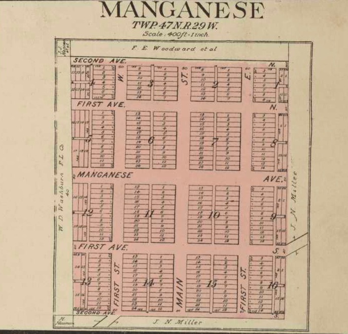
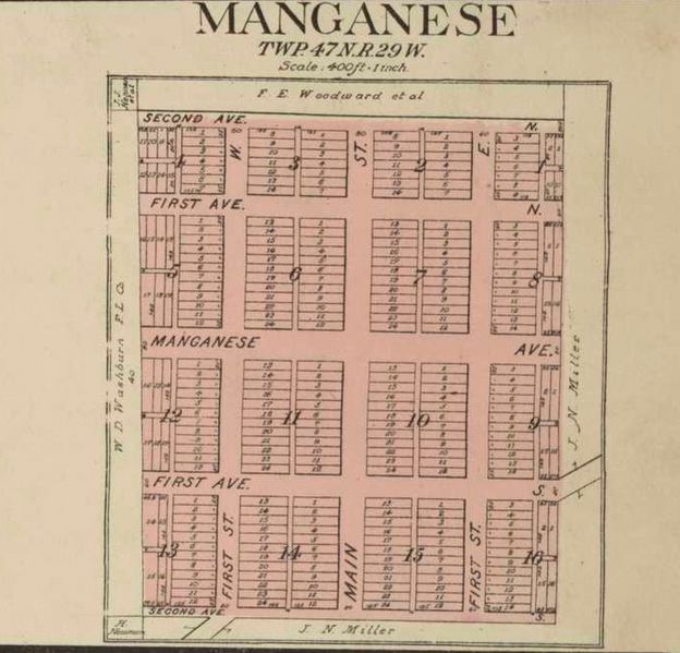
Image: 1913 Geo.A.Ogle&Co. Manganese UofM Borchert
Size of this preview: 624 × 599 pixels. Other resolutions: 250 × 240 pixels | 686 × 659 pixels.
Original image (686 × 659 pixels, file size: 142 KB, MIME type: image/jpeg)
Description: Manganese, Minnesota Plat Map 1913
Title: 1913 Geo.A.Ogle&Co. Manganese UofM Borchert
Credit: http://geo.lib.umn.edu/plat_books/crowwing1913/reference/map01671.jpg
Author: Geo. A Ogle & Co. Crow Wing County Plat Map 1913
Usage Terms: Public domain
License: Public domain
Attribution Required?: No
Image usage
The following page links to this image:

All content from Kiddle encyclopedia articles (including the article images and facts) can be freely used under Attribution-ShareAlike license, unless stated otherwise.