
Image: 1916 Plunketts Creek Map
Size of this preview: 465 × 599 pixels. Other resolutions: 186 × 240 pixels | 583 × 751 pixels.
Original image (583 × 751 pixels, file size: 923 KB, MIME type: image/png)
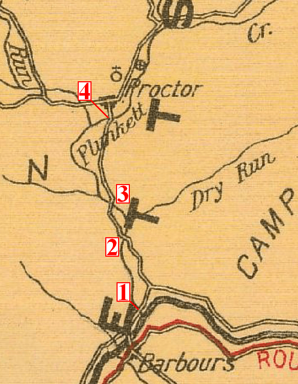
Description: Section of the 1916 Pennsylvania State Highway Map of Lycoming County, showing Plunketts Creek, the villages of Barbours and Proctor, and the four bridges over the creek.
Title: 1916 Plunketts Creek Map
Credit: Pennsylvania State Highway Department (December 1, 1916). "Map of the Public Roads in Lycoming County, Pennsylvania" (PDF). [1]
Author: Pennsylvania State Highway Department, numbers added by User:Ruhrfisch
Permission: Published 1916 in the United States, so public domain as pre-1923.
Usage Terms: Public domain
License: Public domain
Attribution Required?: No
Image usage
The following page links to this image:

All content from Kiddle encyclopedia articles (including the article images and facts) can be freely used under Attribution-ShareAlike license, unless stated otherwise.