
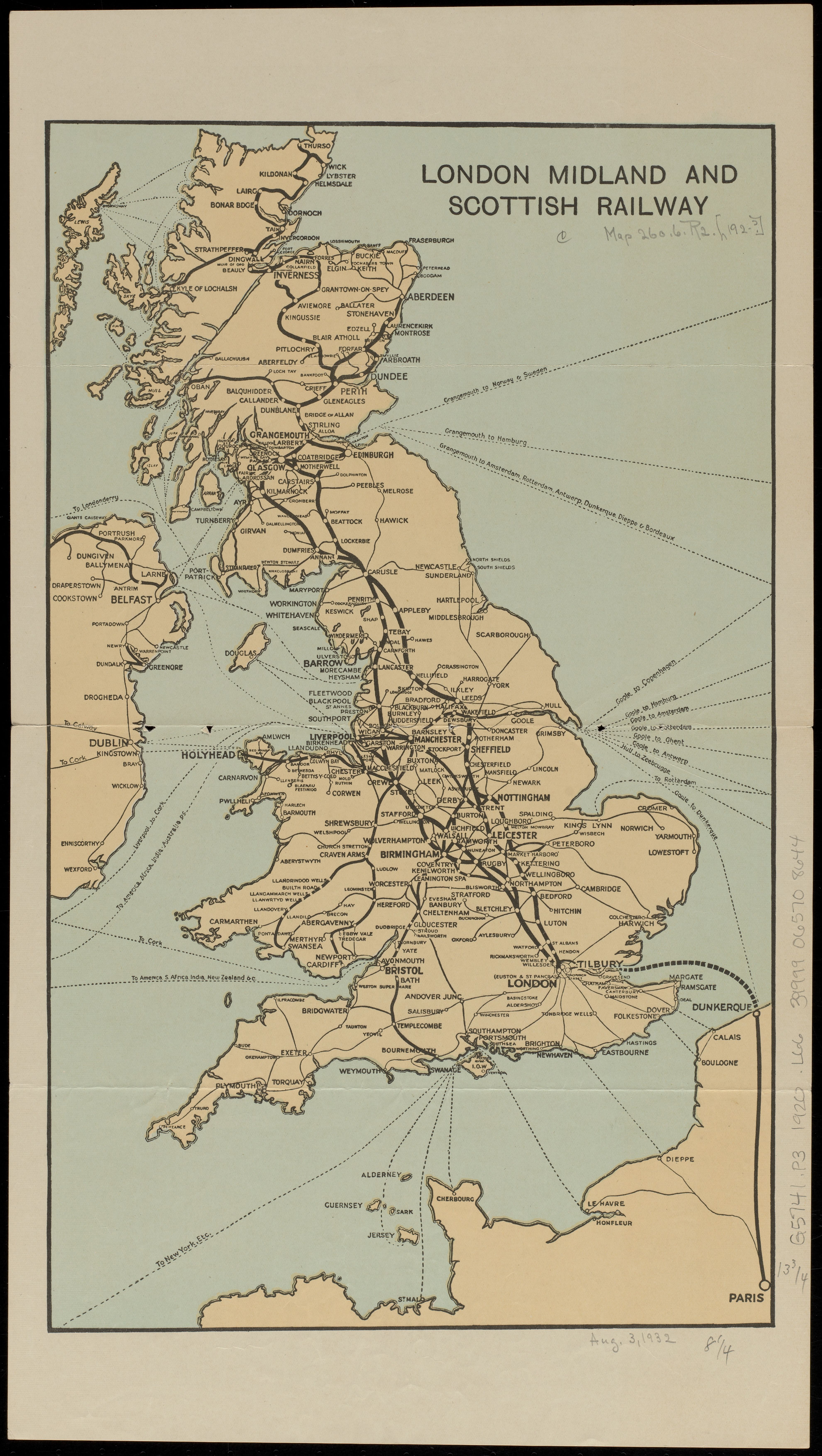
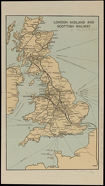
Image: 1920s (circa) London Midland and Scottish Railway map, from the Digital Commonwealth - commonwealth ht2504589
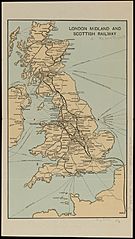
Size of this preview: 338 × 599 pixels. Other resolutions: 135 × 240 pixels | 3,961 × 7,016 pixels.
Original image (3,961 × 7,016 pixels, file size: 3.14 MB, MIME type: image/jpeg)
Description: 1920s (circa) London Midland and Scottish Railway map, from the Digital Commonwealth - commonwealth ht2504589. (https://www.digitalcommonwealth.org/search/commonwealth:ht2504589)
Title: 1920s (circa) London Midland and Scottish Railway map, from the Digital Commonwealth - commonwealth ht2504589
Credit: Digital Commonwealth
Author: Unknown authorUnknown author
Usage Terms: Public domain
License: Public domain
Attribution Required?: No
Image usage
The following page links to this image:

All content from Kiddle encyclopedia articles (including the article images and facts) can be freely used under Attribution-ShareAlike license, unless stated otherwise.
_London_Midland_and_Scottish_Railway_map,_from_the_Digital_Commonwealth_-_commonwealth_ht2504589.jpg)