
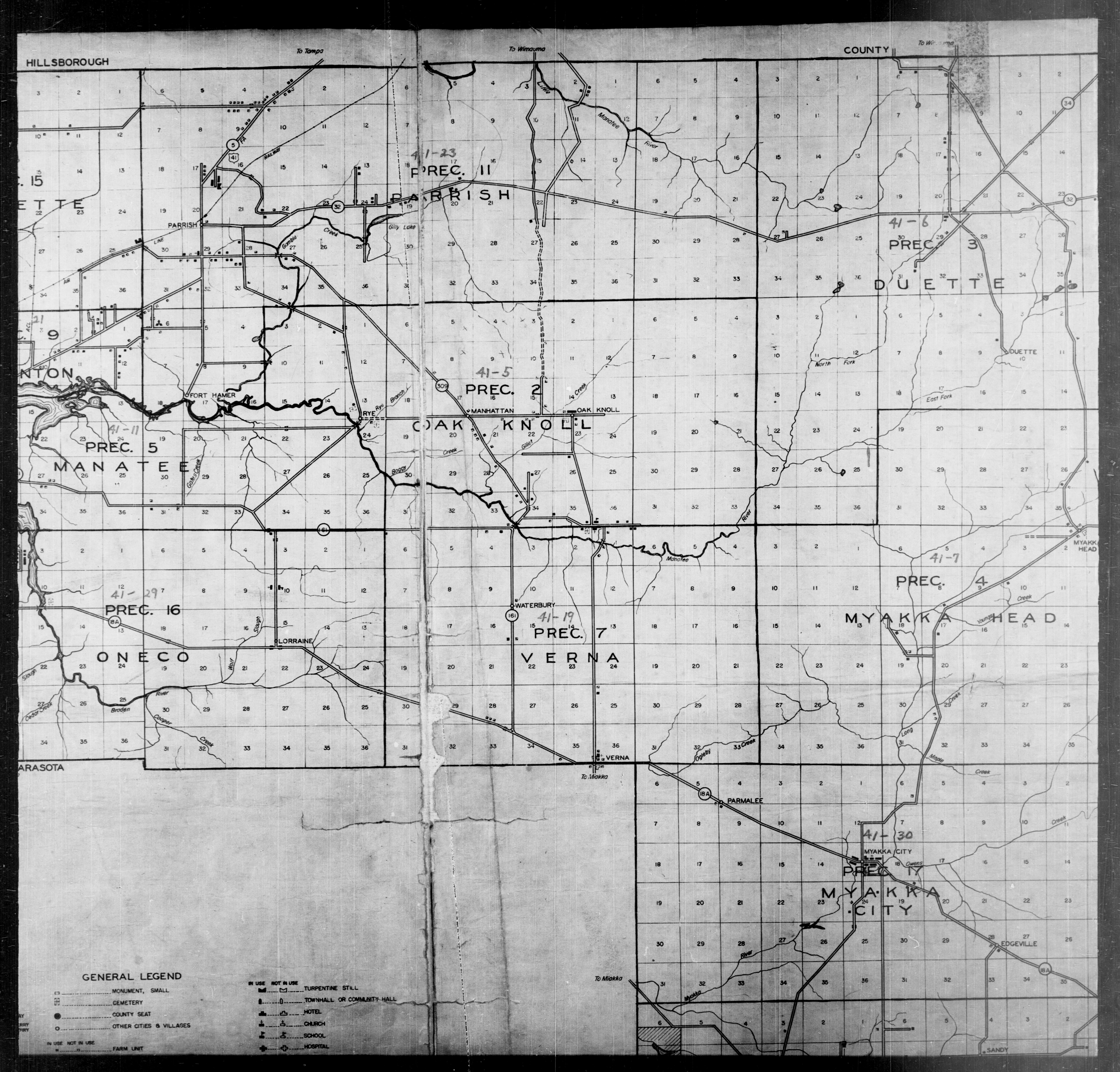
Image: 1940 Census Enumeration District Maps - Florida - Manatee County - ED 41-1 - ED 41-33 - NARA - 5829708 (page 2)
Size of this preview: 627 × 600 pixels. Other resolutions: 251 × 240 pixels | 6,280 × 6,008 pixels.
Original image (6,280 × 6,008 pixels, file size: 4.05 MB, MIME type: image/jpeg)
Title: 1940 Census Enumeration District Maps - Florida - Manatee County - ED 41-1 - ED 41-33
Credit: U.S. National Archives and Records Administration
Author: Unknown authorUnknown author or not provided
Usage Terms: Public domain
License: Public domain
Attribution Required?: No
Image usage
The following page links to this image:

All content from Kiddle encyclopedia articles (including the article images and facts) can be freely used under Attribution-ShareAlike license, unless stated otherwise.
.jpg)