
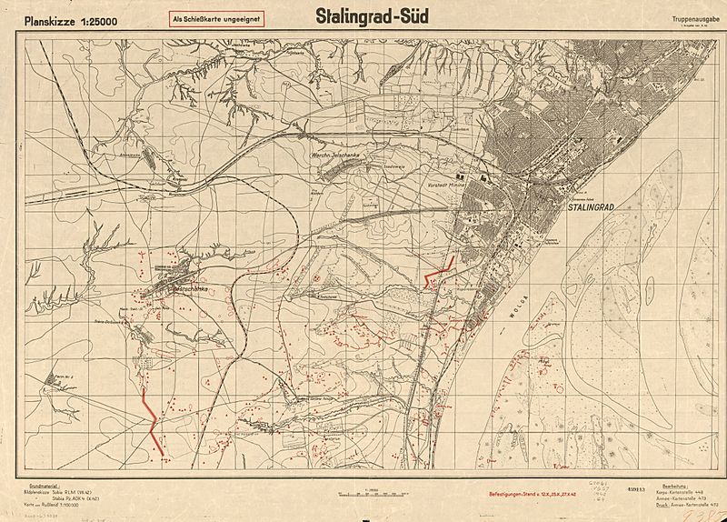
Image: 1942 German map of Stalingrad

Size of this preview: 800 × 574 pixels. Other resolutions: 320 × 230 pixels | 2,338 × 1,677 pixels.
Original image (2,338 × 1,677 pixels, file size: 891 KB, MIME type: image/jpeg)
Description: 1942 German map of Stalingrad by the German Army General Staff
Title: 1942 German map of Stalingrad
Credit: Library of Congress Geography and Map Division Washington, D.C. 20540-4650 USA Call #: G7064.V6S7 1942 .G4 https://www.loc.gov/item/2002624030/
Author: German Generalstaff
Usage Terms: Public domain
License: Public domain
Attribution Required?: No
Image usage
The following page links to this image:

All content from Kiddle encyclopedia articles (including the article images and facts) can be freely used under Attribution-ShareAlike license, unless stated otherwise.