
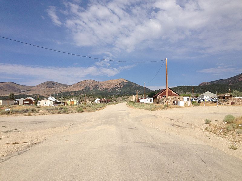
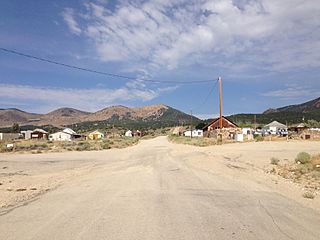
Image: 2014-08-09 09 30 09 View west at the west end of former Nevada State Route 489 (Cherry Creek Road, now part of White Pine County Route 21) in Cherry Creek, Nevada

Size of this preview: 800 × 600 pixels. Other resolutions: 320 × 240 pixels | 3,264 × 2,448 pixels.
Original image (3,264 × 2,448 pixels, file size: 3.61 MB, MIME type: image/jpeg)
Description: View west at the west end of former Nevada State Route 489 (Cherry Creek Road, now part of White Pine County Route 21) in Cherry Creek, Nevada
Title: 2014-08-09 09 30 09 View west at the west end of former Nevada State Route 489 (Cherry Creek Road, now part of White Pine County Route 21) in Cherry Creek, Nevada
Credit: Own work
Author: Famartin
Usage Terms: Creative Commons Attribution-Share Alike 4.0
License: CC BY-SA 4.0
License Link: http://creativecommons.org/licenses/by-sa/4.0
Attribution Required?: Yes
Image usage
The following page links to this image:

All content from Kiddle encyclopedia articles (including the article images and facts) can be freely used under Attribution-ShareAlike license, unless stated otherwise.
_in_Cherry_Creek,_Nevada.JPG)