
Image: A plat of all the world - Norman B. Leventhal Map Center at the BPL
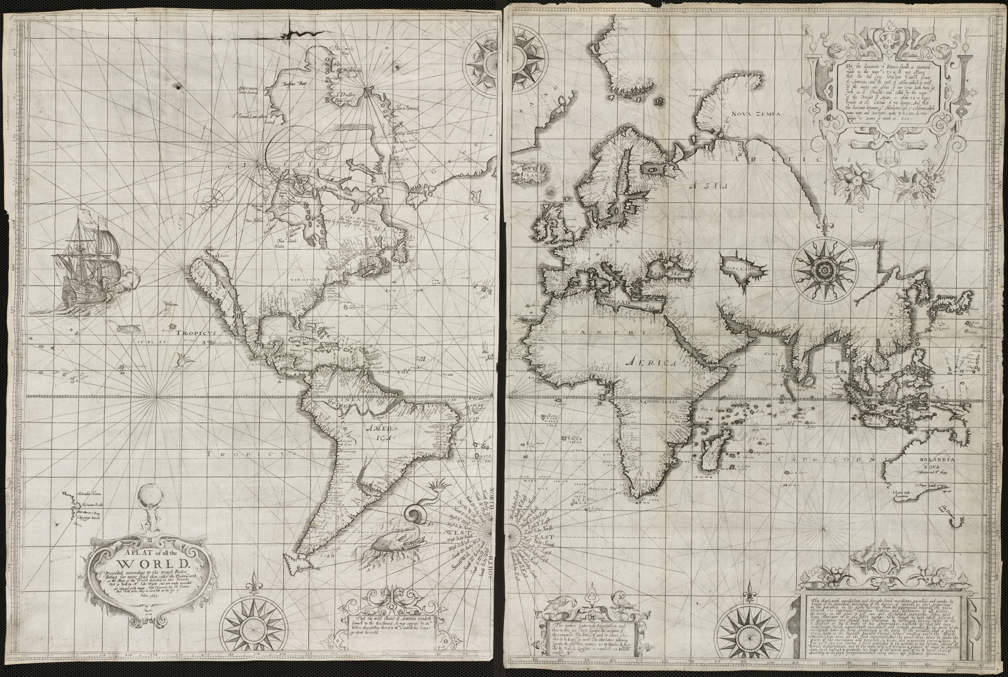
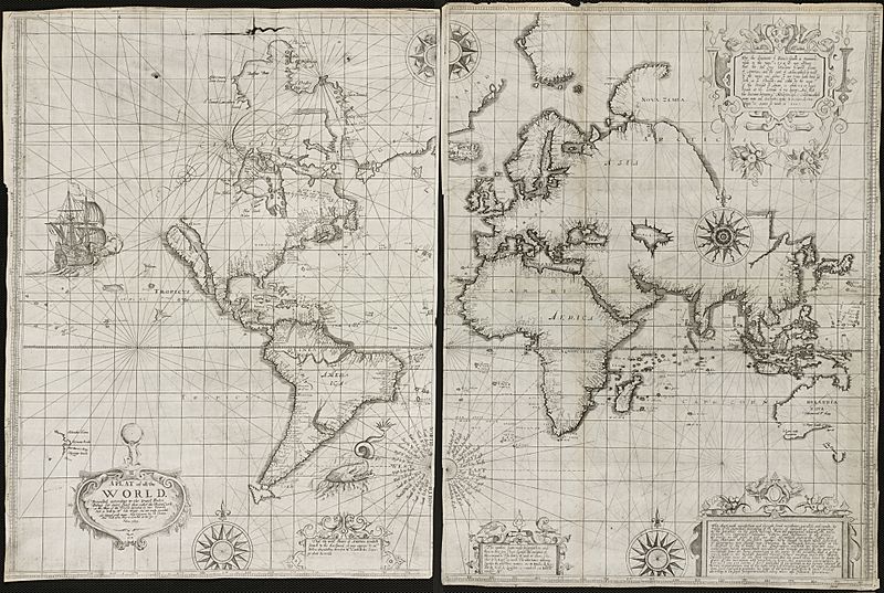
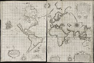
Description: Zoom into this map at maps.bpl.org. Author: Wright, Edward Publisher: Joseph Moxon Date: [1657], 1655. Scale: Scale not given. Call Number: G3200 1657.W7 In attempting to compete with the Dutch production of nautical charts at the end of the 16th century, the British mathematician and hydrographer Edward Wright published a navigational guide entitled Certaine Errors of Navigation. This 1599 publication included a world map which was one of the first to use the cylindrical projection introduced by Gerard Mercator in 1569. Wright's treatise on navigation along with the world map were reissued in 1657 by Joseph Moxon, a London instrument and globe maker, as well as the royal hydrographer. Moxon reworked the map, as displayed here, decorating it with five compass roses, images of a ship and a sea monster, and five ornamented text boxes. Of particular note is the title cartouche which was topped by an image of Atlas holding the Earth, a motif that was just starting to be used on atlas title pages, but also was suggestive of Moxon's address as indicated on the map, "Sold at his Shop in Cornhill at the sign of Atlas." Moxon made revisions to the geographic information, reflecting new discoveries around Hudson's Bay and Australia. He also accepted the mistaken notion of California as an island, which was becoming a prevalent image on mid-17th-century English and Dutch maps. Although the size and shapes of land masses, especially in the polar regions, are greatly exaggerated on world maps using the Mercator projection, Wright's use of this projection was entirely appropriate, because the projection was originally developed for navigational purposes. The Mercator projection is noted for showing true compass direction (North, East, South, or West) any where on the map. This property is highlighted on Moxon's version of the map by the five compass roses, and especially the one centrally located in the South Atlantic, naming the cardinal as well as many intermediate directions.
Title: A plat of all the world - Norman B. Leventhal Map Center at the BPL
Credit: A plat of all the world
Author: http://maps.bpl.org
Usage Terms: Creative Commons Attribution 2.0
License: CC BY 2.0
License Link: http://creativecommons.org/licenses/by/2.0
Attribution Required?: Yes
Image usage
The following page links to this image:
