
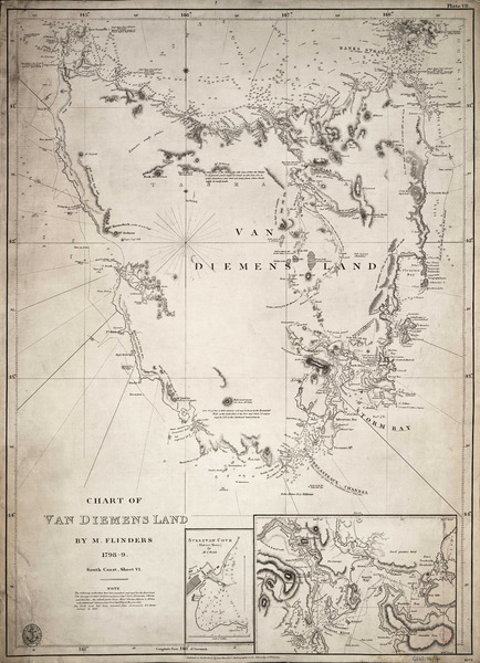
Image: Admiralty Chart No 1079 Van Diemens Land by M. Flinders 1798-9. South coast, sheet VI. RMG F0282, Published 1814f
Description: Chart of Van Diemens Land by M. Flinders 1798-9. South coast, sheet VI.Single sheet. Engr. Medium: Linen backed. Scale: [ca.1:1 000 000]. Cartographic Note: Graduated chart. Variation shown. Additional Places: Tasmania. Contents Note: Inset: Sullivan Cove (Hobart Town) by Mr I Welsh [ca. 1:12 000], Inset: [North Bay and Derwent River] [ca. 1:35 000]. G262:14/4 Van Diemans Land by Flinders
Title: Admiralty Chart No 1079 Van Diemens Land by M. Flinders 1798-9. South coast, sheet VI. RMG F0282, Published 1814
Credit: http://collections.rmg.co.uk/collections/objects/540614
Author: Flinders, Matthew; Hydrographic Office; Thomas Hurd
Permission: The original artefact or artwork has been assessed as public domain by age, and faithful reproductions of the two dimensional work are also public domain. No permission is required for reuse for any purpose. The text of this image record has been derived from the Royal Museums Greenwich catalogue and image metadata. Individual data and facts such as date, author and title are not copyrightable, but reuse of longer descriptive text from the catalogue may not be considered fair use. Reuse of the text must be attributed to the "National Maritime Museum, Greenwich, London" and a Creative Commons CC-BY-NC-SA-3.0 license may apply if not rewritten. Refer to Royal Museums Greenwich copyright.
Usage Terms: Public domain
License: Public domain
Attribution Required?: No
Image usage
The following page links to this image:
