
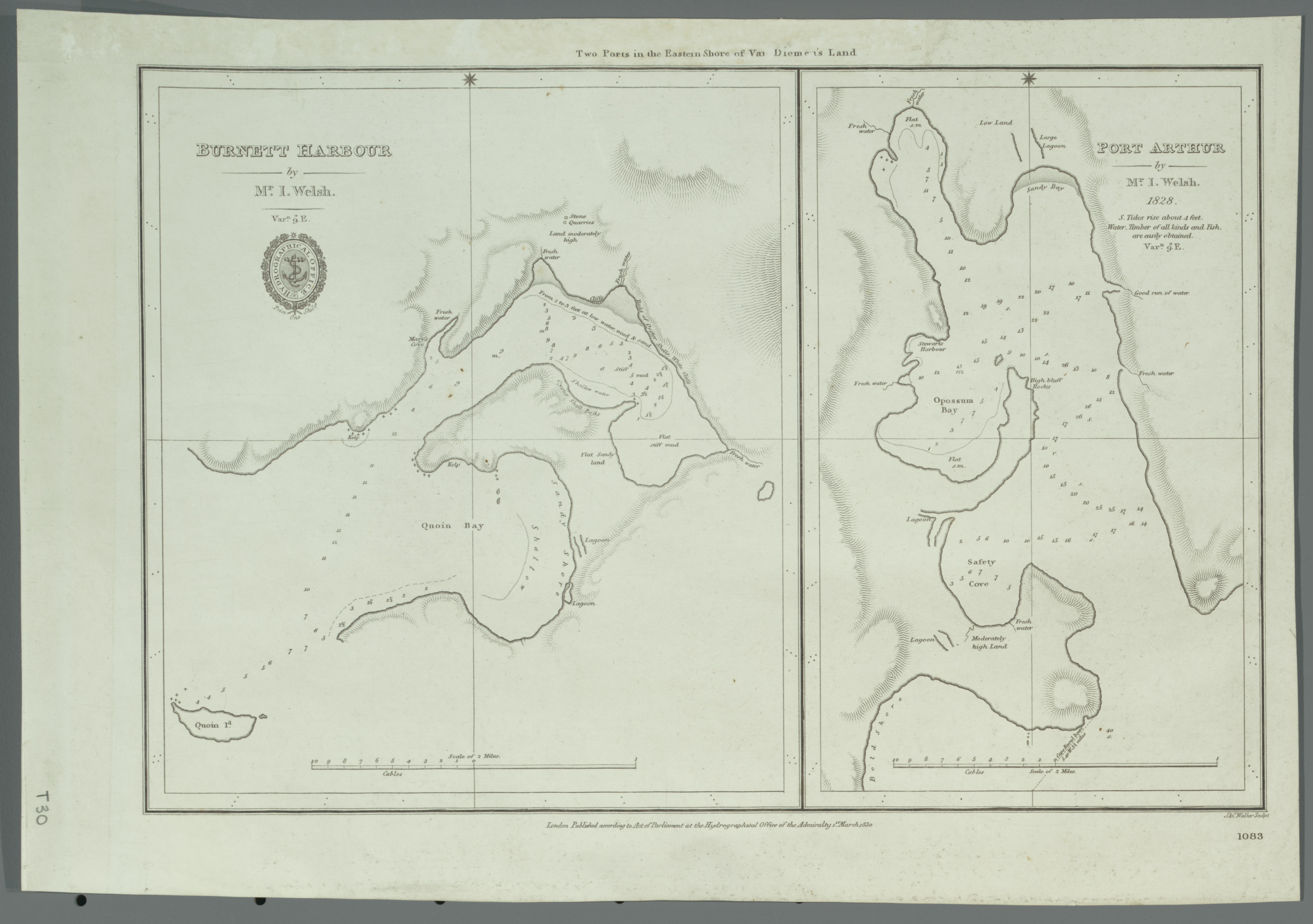
Image: Admiralty Chart No 1083 Burnett Harbour and Port Arthur, Published 1830
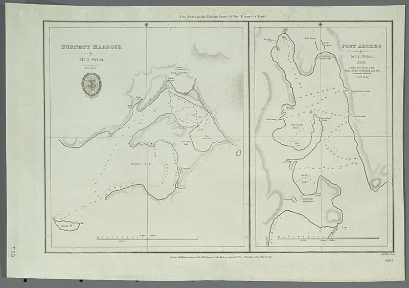
Size of this preview: 800 × 563 pixels. Other resolutions: 320 × 225 pixels | 4,702 × 3,310 pixels.
Original image (4,702 × 3,310 pixels, file size: 3.25 MB, MIME type: image/jpeg)
Description: Nautical chart of Burnett Harbour and Port Arthur, Tasmania. Not current - not to be used for navigation!
Title: Admiralty Chart No 1083 Burnett Harbour and Port Arthur, Published 1830
Credit: https://nla.gov.au/nla.obj-232535126
Author: Hydrographic Office of the Admiralty
Usage Terms: Public domain
License: Public domain
Attribution Required?: No
Image usage
The following page links to this image:

All content from Kiddle encyclopedia articles (including the article images and facts) can be freely used under Attribution-ShareAlike license, unless stated otherwise.