
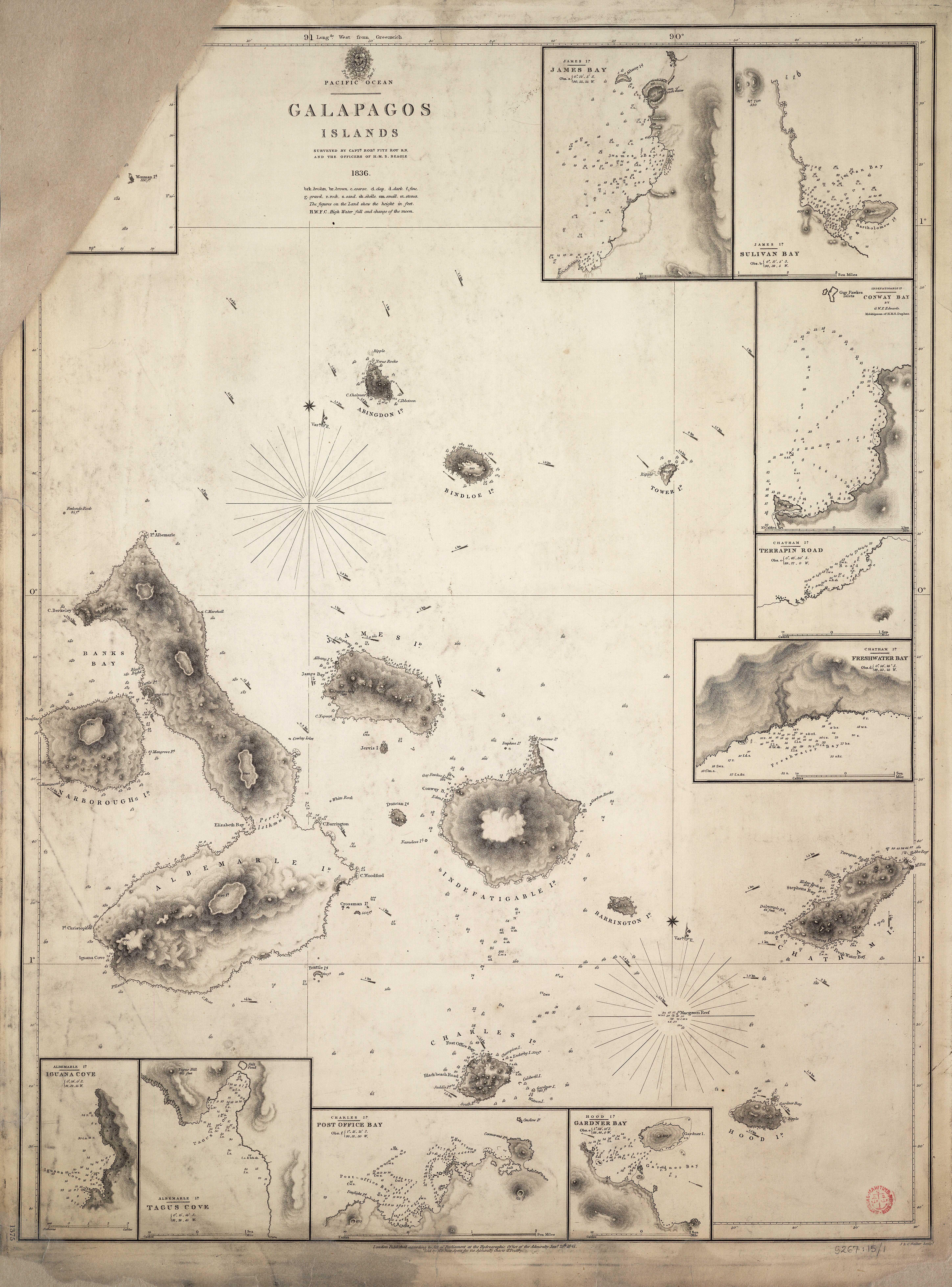
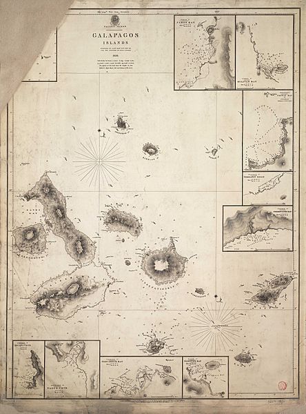
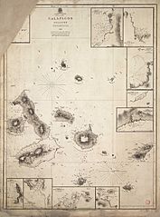
Image: Admiralty Chart No 1375 Galapagos Islands, Published 1841
Size of this preview: 444 × 600 pixels. Other resolutions: 177 × 240 pixels | 5,793 × 7,828 pixels.
Original image (5,793 × 7,828 pixels, file size: 7.99 MB, MIME type: image/jpeg)
Description: Nautical chart of the Galapagos Islands. Surveyed by Captn. Robt. Fitz Roy R.N. and the officers of H.M.S. Beagle 1836. No current - not to be used for navigation!
Title: Admiralty Chart No 1375 Galapagos Islands, Published 1841
Credit: jpg version of File:Admiralty Chart No 1375 Pacific Ocean - Galapagos Islands surveyed by Captn. Robt. Fitz Roy R.N. and the officers of H.M.S. Beagle 1836. RMG F0279, Published 1841.tiff
Author: Hydrographic Office of the Admiralty
Usage Terms: Public domain
License: Public domain
Attribution Required?: No
Image usage
The following 2 pages link to this image:

All content from Kiddle encyclopedia articles (including the article images and facts) can be freely used under Attribution-ShareAlike license, unless stated otherwise.