
Image: Aerial-GoletaArea
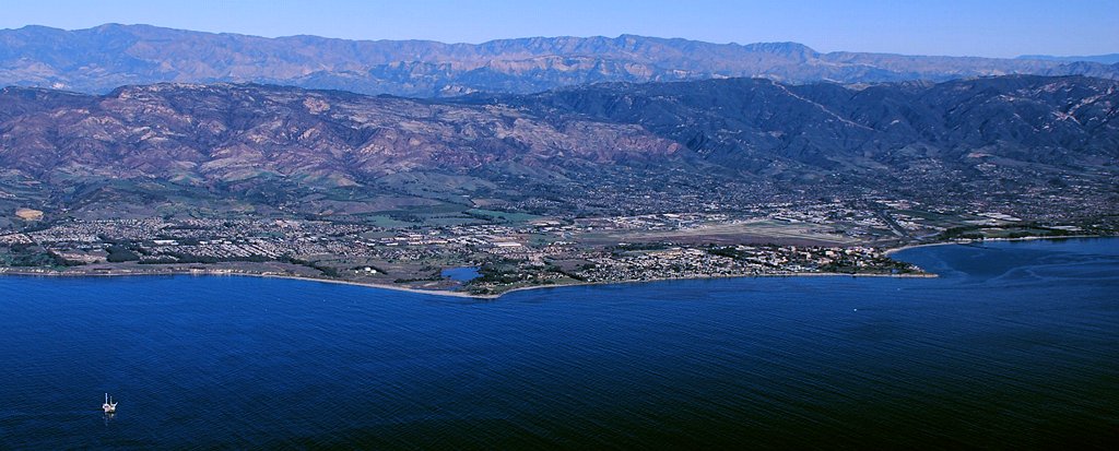
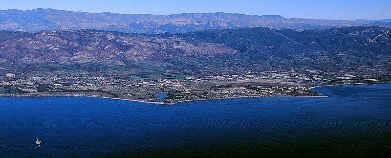
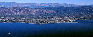
Description: Aerial photo of the Goleta area, Santa Barbara County, California — from offshore. From the left: Ellwood area, Coal Oil Point and Devereux Slough area, Isla Vista and UCSB to Campus Point, Santa Barbara Airport behind Isla Vista and UCSB with residential Goleta up into the hillside beyond and downtown Goleta at the left edge directly beyond UCSB near Hwy.101 at the base of the hills, and on the shoreline beyond Campus Point is More Mesa. At the bottom left corner offshore is Oil Platform Holly. Santa Ynez Mountains are in backround.
Title: Aerial-GoletaArea
Credit: Own work
Author: John Wiley User:Jw4nvc - Santa Barbara, California
Permission: This work is free and may be used by anyone for any purpose. If you wish to use this content, you do not need to request permission as long as you follow any licensing requirements mentioned on this page. Wikimedia has received an e-mail confirming that the copyright holder has approved publication under the terms mentioned on this page. This correspondence has been reviewed by an OTRS member and stored in our permission archive. The correspondence is available to trusted volunteers as ticket #2009071510014875. If you have questions about the archived correspondence, please use the OTRS noticeboard. Ticket link: https://ticket.wikimedia.org/otrs/index.pl?Action=AgentTicketZoom&TicketNumber=2009071510014875 *For full details on Permissions for this user's work, see: User:Jw4nvc/permission/details
Usage Terms: Creative Commons Attribution 3.0
License: CC BY 3.0
License Link: http://creativecommons.org/licenses/by/3.0
Attribution Required?: Yes
Image usage
The following 2 pages link to this image:
