
Image: Aerial view of Linklet Bay - geograph.org.uk - 224596
No higher resolution available.
Aerial_view_of_Linklet_Bay_-_geograph.org.uk_-_224596.jpg (640 × 487 pixels, file size: 53 KB, MIME type: image/jpeg)
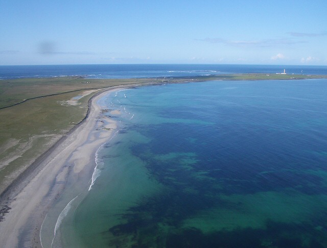
Description: Aerial view of Linklet Bay. Looking down over Linklet Bay from the Islander plane as it leaves North Ronaldsay. The sheep dyke can be seen cutting off the area of the Links from the rest of the island, and the lighthouse at Dennis Head is just visible at the tip of the island.
Title: Aerial view of Linklet Bay - geograph.org.uk - 224596
Credit: From geograph.org.uk
Author: Lis Burke
Usage Terms: Creative Commons Attribution-Share Alike 2.0
License: CC BY-SA 2.0
License Link: https://creativecommons.org/licenses/by-sa/2.0
Attribution Required?: Yes
Image usage
The following page links to this image:

All content from Kiddle encyclopedia articles (including the article images and facts) can be freely used under Attribution-ShareAlike license, unless stated otherwise.