
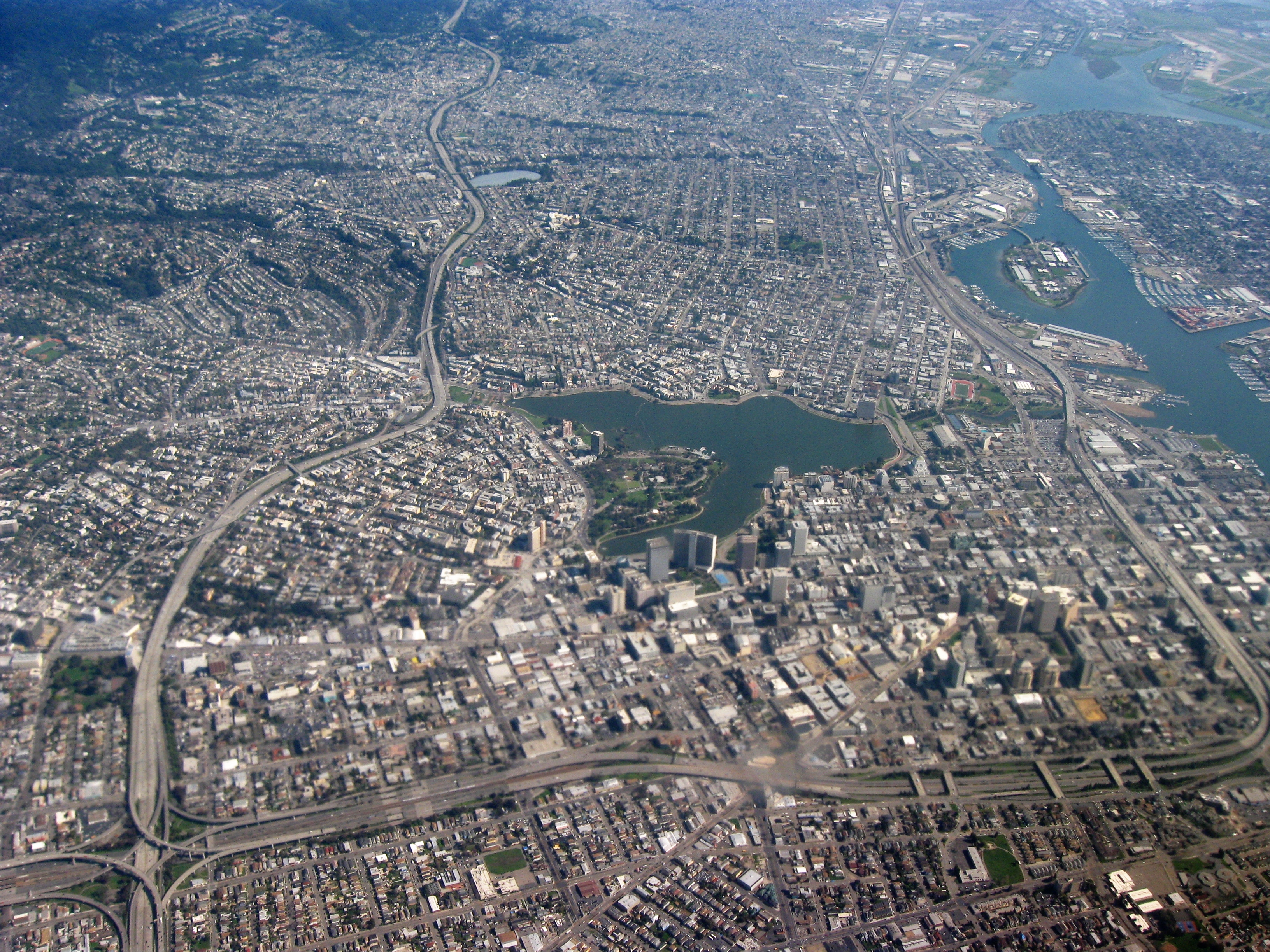
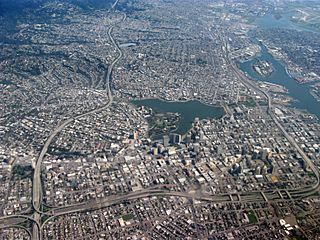
Image: Aerial view of city of Oakland 1
Size of this preview: 800 × 600 pixels. Other resolutions: 320 × 240 pixels | 3,264 × 2,448 pixels.
Original image (3,264 × 2,448 pixels, file size: 6.37 MB, MIME type: image/jpeg)
Description: Aerial view of city of Oakland, California. Lakeside Park, Lake Merritt in center, Laney College to the right of that, Downtown Oakland right below the lake, Interstate 580 on left, Interstate 980 on bottom, Oakland Inner Harbor Channel and Government Island in upper right.
Title: Aerial view of city of Oakland 1
Credit: Own work
Author: Dcoetzee
Usage Terms: Public domain
License: Public domain
Attribution Required?: No
Image usage
The following page links to this image:

All content from Kiddle encyclopedia articles (including the article images and facts) can be freely used under Attribution-ShareAlike license, unless stated otherwise.