
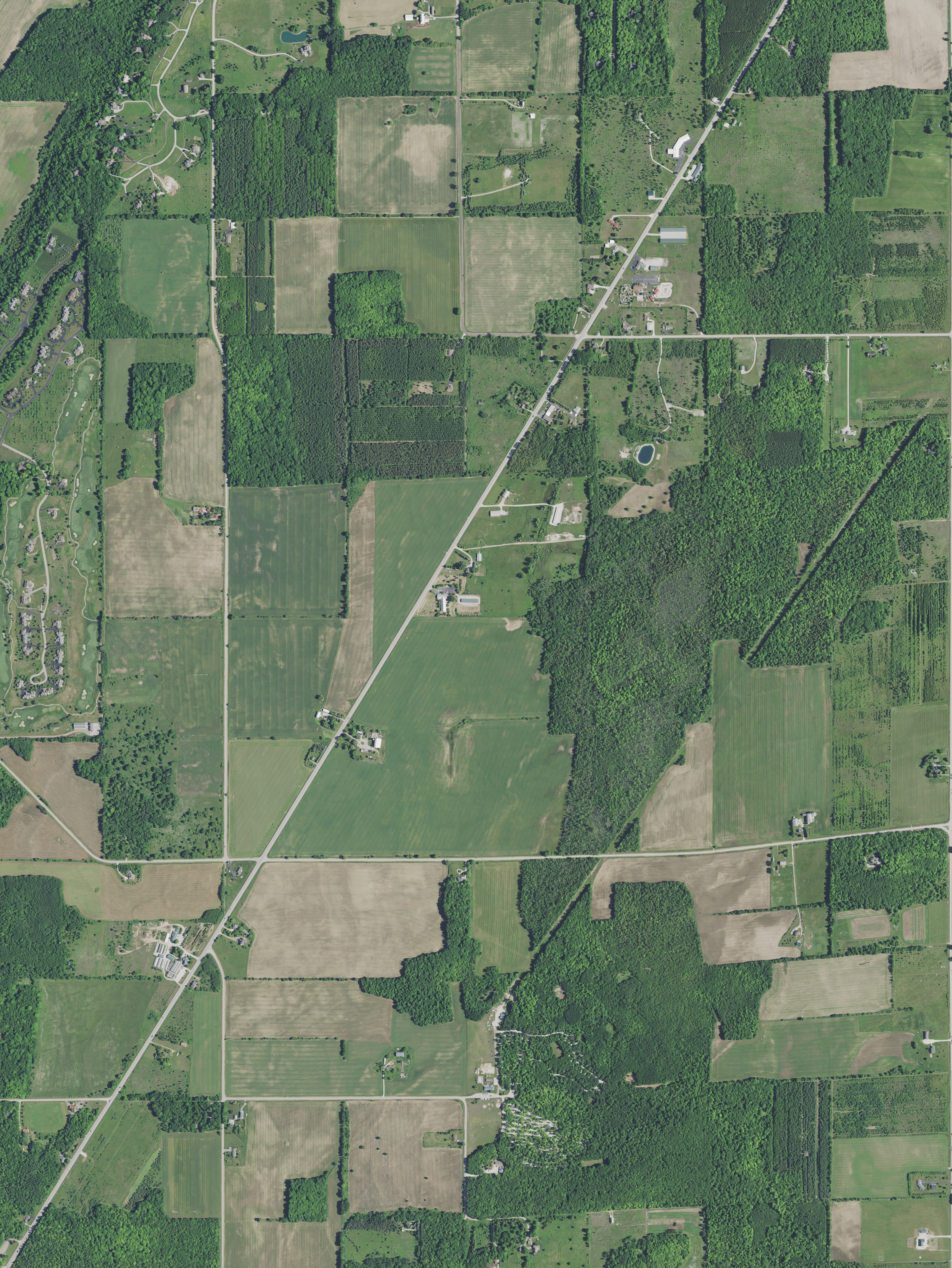
Image: Aerial view of part of the southwestern town of Egg Harbor in Door County, Wisconsin 2020 (cropped)
Description: Aerial view of part of the southwestern town of Egg Harbor, and Lost Lake in Door County, Wisconsin, taken June 27, 2020. Center Latitude 45°01'53.41"N Center Longitude 87°16'51.65"W NW Corner Lat 45°03'56.47"N NW Corner Long 87°18'58.19"W NE Corner Lat 45°03'57.09"N NE Corner Long 87°14'46.32"W SE Corner Lat 44°59'50.31"N SE Corner Long 87°14'45.26"W SW Corner Lat 44°59'49.69"N SW Corner Long 87°18'56.83"W
Title: Aerial view of part of the southwestern town of Egg Harbor in Door County, Wisconsin 2020 (cropped)
Credit: converted to .png by Epiphyllumlover from the original .tif available as item M_4508762_SE_16_060_20200627 on EarthExplorer
Author: Aerial Photography Field Office (APFO) for NAIP, USGS; in contract with the Surdex Corporation
Permission: Public domainPublic domainfalsefalse This image is a work of an employee of the United States Farm Security Administration or Office of War Information domestic photographic units, taken as part of that person's official duties. As a work of the U.S. federal government, the image is in the public domain in the United States. See Copyright.
Usage Terms: Public domain
License: Public domain
Attribution Required?: No
Image usage
The following page links to this image:

.png)