
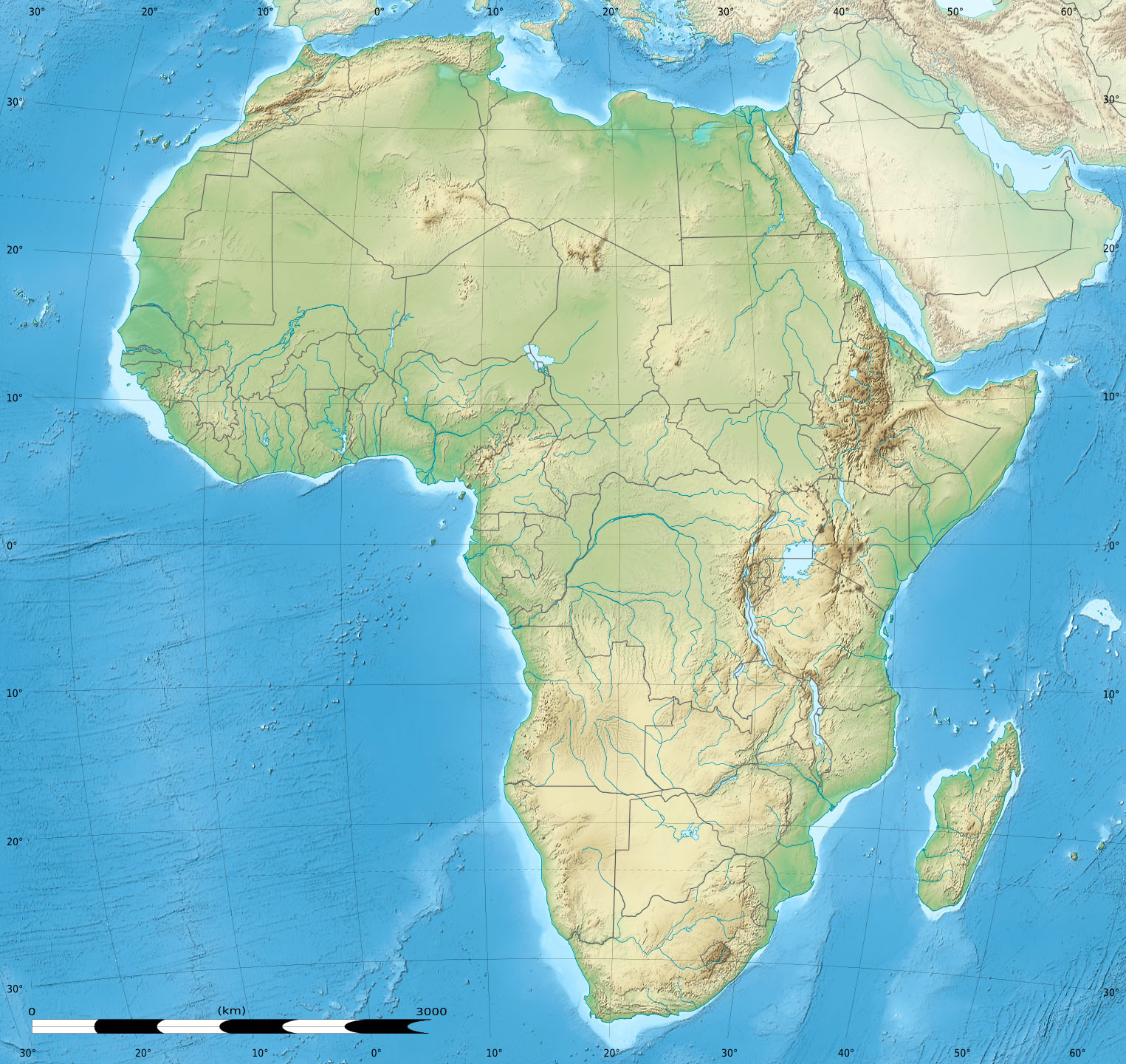
Image: Africa relief location map
Description: Blank physical map of political Africa, for geo-location purposes. Borders as in July 2011.
Title: Africa relief location map
Credit: Based upon File:Africa_map_blank.svg created by myself Sources of data: VMap-0 Sudan/South Sudan 2011-07 border: Map Library (data of 2011-07-09) NGDC World Data Bank II CleanTOPO2 SRTM30 Plus
Author: Eric Gaba (Sting - fr:Sting)
Permission: Attribution and Share-Alike required Any use of this map can be made as long as you credit me (Eric Gaba – Wikimedia Commons user: Sting) as the author and distribute the copies and derivative works under the same license(s) that the one(s) stated below. A message with a reply address would also be greatly appreciated.
Usage Terms: Creative Commons Attribution-Share Alike 3.0
License: CC BY-SA 3.0
License Link: https://creativecommons.org/licenses/by-sa/3.0
Attribution Required?: Yes
Image usage
The following 29 pages link to this image:
- Abuja
- Accra
- Addis Ababa
- Alexandria
- Antananarivo
- Asmara
- Bata, Equatorial Guinea
- Bissau
- Boa Vista, Cape Verde
- Cairo
- Gabal El Uweinat
- Gaborone
- Gitega
- Juba
- Kampala
- Khartoum
- Kinshasa
- Libreville
- Luanda
- Lusaka
- Luxor
- Marrakesh
- Mombasa
- Mount Kilimanjaro
- Nairobi
- Ouagadougou
- Sal, Cape Verde
- Tripoli, Libya
- Yaoundé
