
Image: AlapahaRiver2002
Size of this preview: 800 × 600 pixels. Other resolutions: 320 × 240 pixels | 2,010 × 1,507 pixels.
Original image (2,010 × 1,507 pixels, file size: 641 KB, MIME type: image/jpeg)
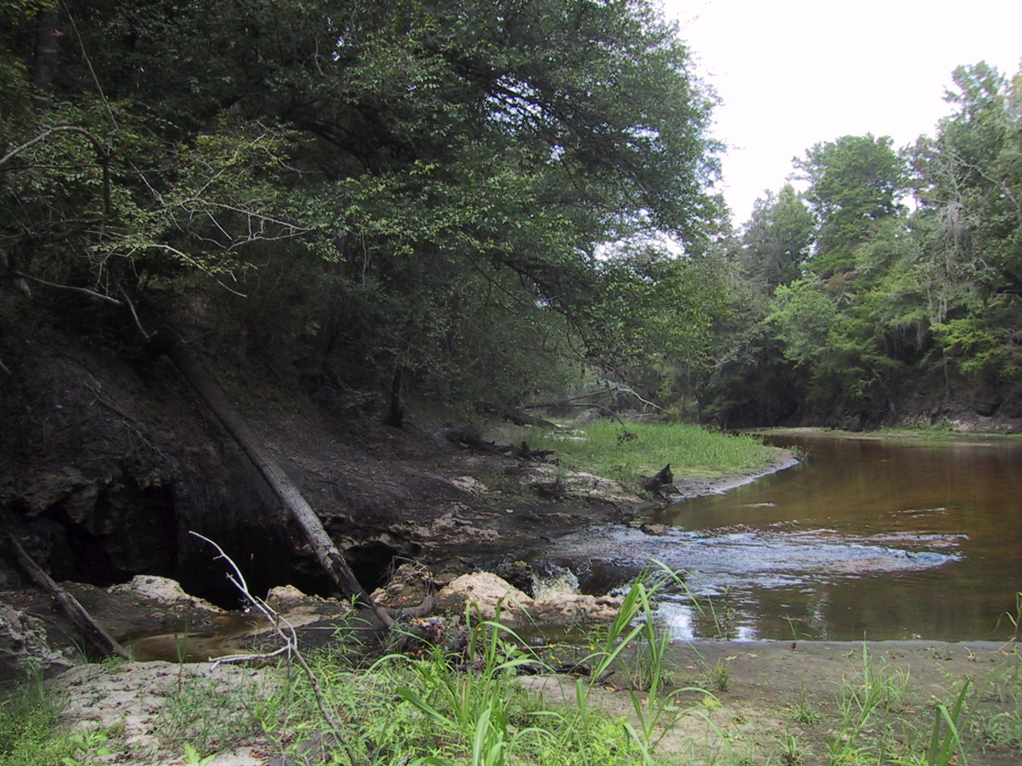
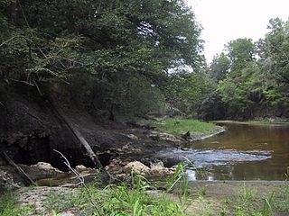
Description: Surface water-Groundwater (SW-GW) interaction , August 2002. Entire flow of Alapaha River near Jennings going into sinkhole to Floridan Aquifer. Sinkholes are one of a variety of properties of Karst topographies and carstic underground water systems that develope world wide in water soluble (chemically soluble) rocks (in Florida: carbonate rocks).
Title: AlapahaRiver2002
Credit: USGS Surface Water Photo Gallery[1], item 14 01.
Author: Stewart Tomlinson, Florida
Usage Terms: Public domain
License: Public domain
Attribution Required?: No
Image usage
The following 6 pages link to this image:

All content from Kiddle encyclopedia articles (including the article images and facts) can be freely used under Attribution-ShareAlike license, unless stated otherwise.