
Image: Altiplano Cundiboyacense (subdivisions)
Size of this preview: 652 × 600 pixels. Other resolutions: 261 × 240 pixels | 1,740 × 1,600 pixels.
Original image (1,740 × 1,600 pixels, file size: 6.57 MB, MIME type: image/png)
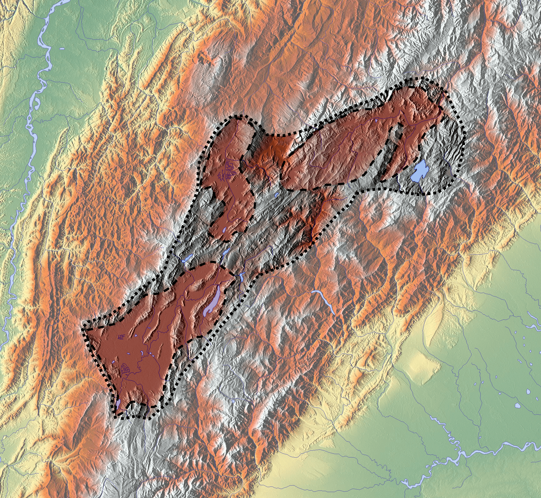
Description: Carte de l'altiplano cundiboyacense, en Colombie. En rouge, d'ouest en est : la savane de Bogota les vallées d'Ubaté et Chiquinquirá les vallées de Tunja, Duitama et Sogamoso
Title: Altiplano Cundiboyacense (subdivisions)
Credit: Own work background : http://www.maps-for-free.com
Author: Dr Brains
Usage Terms: GNU Free Documentation License
License: GFDL
License Link: http://www.gnu.org/copyleft/fdl.html
Attribution Required?: Yes
Image usage
The following 9 pages link to this image:

All content from Kiddle encyclopedia articles (including the article images and facts) can be freely used under Attribution-ShareAlike license, unless stated otherwise.
.png)