
Image: An Accurate Map of North and South Carolina With Their Indian Frontiers
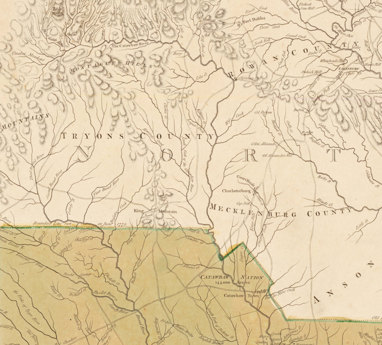
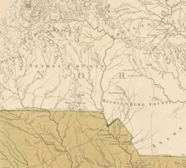
Description: Print. Map shows North and South Carolina, and part of Georgia. Relief shown by hachures, depth shown by soundings. Depicts towns and villages, mills, roads, courthouses, Quaker meeting houses, and churches. Native American tribes shown include the Meherrin and Tuscarora in northeastern North Carolina, the Catawba south of Mecklenburg County, and the Cherokee in the far western part of the state. Insets show "The Harbour of Port Royal" and "The Bar and Harbour of Charlestown."
Title: An Accurate Map of North and South Carolina With Their Indian Frontiers
Credit: https://dc.lib.unc.edu/cdm/singleitem/collection/ncmaps/id/9632/rec/5 Repository: Davidson College
Author: Henry Mouzon
Usage Terms: Public domain
License: Public domain
Attribution Required?: No
Image usage
The following 2 pages link to this image:
