
Image: An illustrated and descriptive guide to the great railways of England and their connections with the Continent (1885) (14573968419)

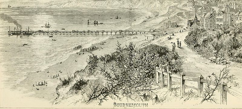
Description: Identifier: illustrateddescr00lond (find matches) Title: An illustrated and descriptive guide to the great railways of England and their connections with the Continent Year: 1885 (1880s) Authors: Subjects: Railroads -- Great Britain Europe -- Guidebooks England -- Guidebooks Publisher: (London) : Morton & Co. Contributing Library: University of California Libraries Digitizing Sponsor: MSN View Book Page: Book Viewer About This Book: Catalog Entry View All Images: All Images From Book Click here to view book online to see this illustration in context in a browseable online version of this book. Text Appearing Before Image: ' Text Appearing After Image: n^- SOUTHAMPTON. As long ago as when Winchester was the residence of the sovereigns ofEngland, and virtually its capital, Southampton—then called Hamptune—was a prosperous seaport. Southampton Water, some three miles wide, andin the centre about forty feet in depth, sheltered with wooded hills, and withthe great natural breakwater of the Isle of Wight, offered a safe and invitinganchorage for any number of vessels of any burthen. In the reign ofHenry II. it was made by royal charter an incorporated town ; and, longbefore, it had been walled, and defended by moats filled from the sea. Inthe middle ages it was the most convenient place of embarkation for sove-reigns and troops on their way to France, and its shores witnessed thedeparture of the men who won the fields of Cressy, Poictiers, and Agincourt.The Protestants driven from the Netherlands, in the middle of the seven-teenth century, settled in Southampton, brought with them the manufactureof several kinds of cloth not before k Note About Images Please note that these images are extracted from scanned page images that may have been digitally enhanced for readability - coloration and appearance of these illustrations may not perfectly resemble the original work.
Title: An illustrated and descriptive guide to the great railways of England and their connections with the Continent (1885) (14573968419)
Credit: https://www.flickr.com/photos/internetarchivebookimages/14573968419/ Source book page: https://archive.org/stream/illustrateddescr00lond/illustrateddescr00lond#page/n222/mode/1up
Author: Internet Archive Book Images
Permission: At the time of upload, the image license was automatically confirmed using the Flickr API. For more information see Flickr API detail.
Usage Terms: No known copyright restrictions
License: No restrictions
License Link: https://www.flickr.com/commons/usage/
Attribution Required?: No
Image usage
The following page links to this image:

_(14573968419).jpg)