
Image: Antarctic Peninsula satellite image
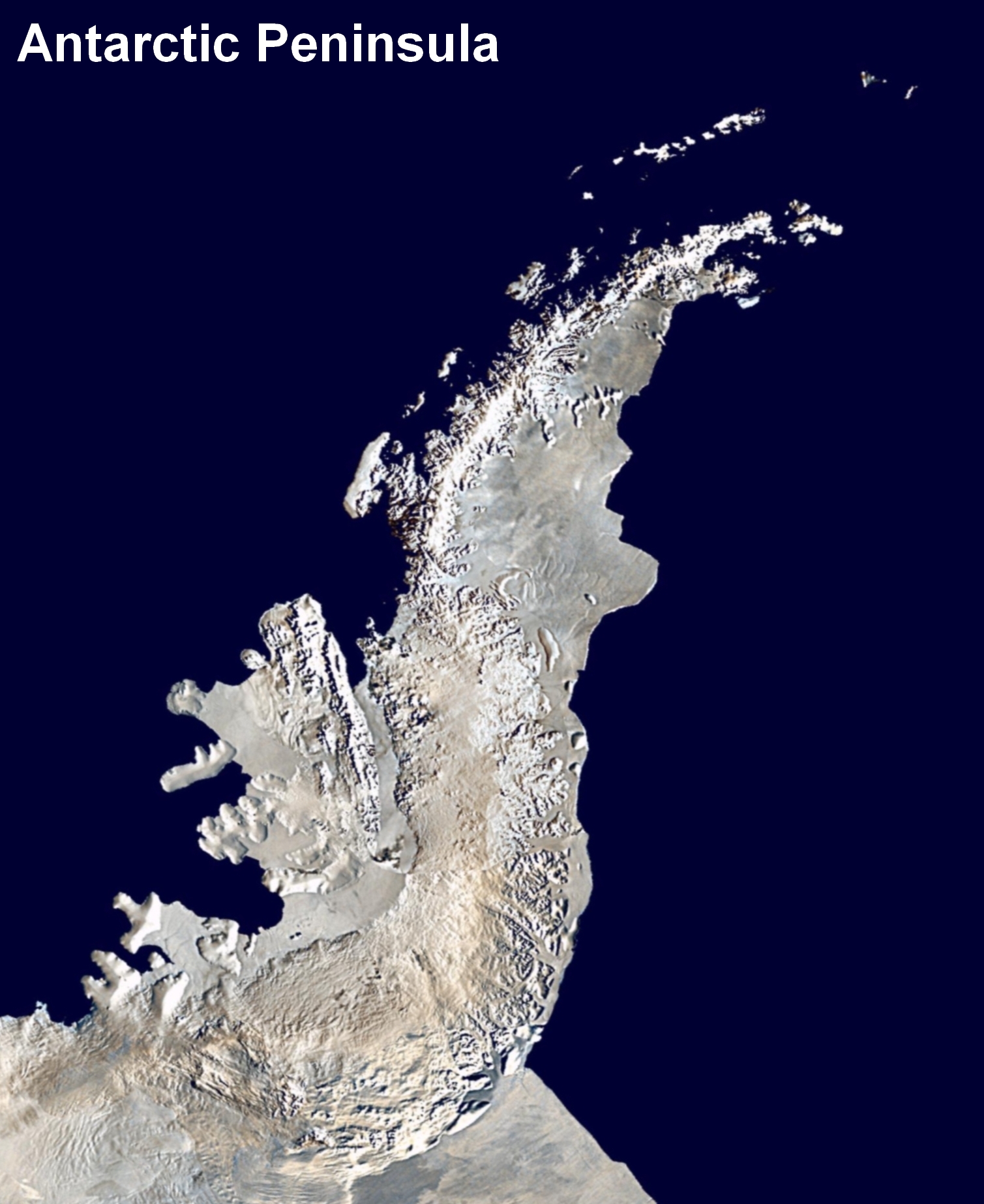
Description: Antarctic Peninsula satellite image. An orthographic projection of NASA's Blue Marble data set (1 km resolution global satellite composite). "MODIS observations of polar sea ice were combined with observations of Antarctica made by the National Oceanic and Atmospheric Administration’s AVHRR sensor—the Advanced Very High Resolution Radiometer." Image was generated using a custom C program for handling the Blue Marble files, with orthographic projection formulas from MathWorld. The black pixels are presumed to be due to missing data in the land/sea mask used in making the original Blue Marble image.
Title: Antarctic Peninsula satellite image
Credit: Antarctica_6400px_from_Blue_Marble.jpg
Author: Antarctica_6400px_from_Blue_Marble.jpg: Dave Pape derivative work: Anna Frodesiak (talk)
Usage Terms: Public domain
License: Public domain
Attribution Required?: No
Image usage
The following page links to this image:
