
Image: Antarctica map indicating Antarctic Peninsula

Size of this preview: 660 × 600 pixels. Other resolutions: 264 × 240 pixels | 1,074 × 976 pixels.
Original image (1,074 × 976 pixels, file size: 222 KB, MIME type: image/jpeg)
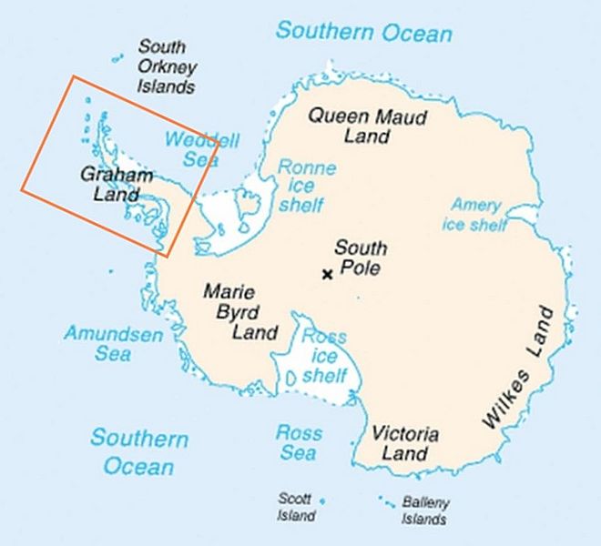
Description: Map of Antarctica indicating location of Antarctic Peninsula.
Title: Antarctica map indicating Antarctic Peninsula
Credit: Map-antarctica-ross-ice-shelf-red-x.png
Author: Map-antarctica-ross-ice-shelf-red-x.png: *Antarctica_Map.png derivative work: -- Jeandré, 2009-02-16t17:22z derivative work: Anna Frodesiak (talk)
Usage Terms: Public domain
License: Public domain
Attribution Required?: No
Image usage
The following page links to this image:

All content from Kiddle encyclopedia articles (including the article images and facts) can be freely used under Attribution-ShareAlike license, unless stated otherwise.