
Image: Arabian Sea in its region

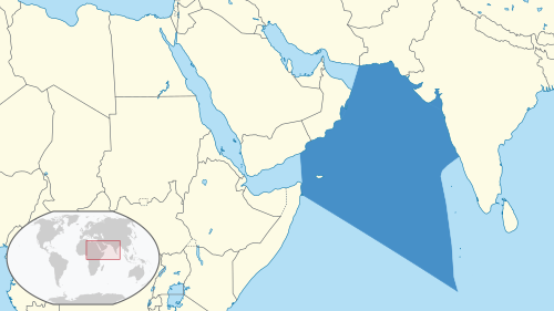
Description: Location of the Arabian Sea in the region. The borders of the sea are based on those from the IHO's "Limits of Oceans and Seas" Draft 3rd Edition, 1953. The map was created using data from Natural Earth, with mapshaper. (Natural Earth Data is in the public domain.) For reproducibility purposes, this was the set of scripts used.
The style of the maps was generally intended to follow that of the German Locator maps project, except for the highlight colour of the sea, for which there was no apparent convention and for which dark blue (#4790c8) was used.
Author: Aplaice
Usage Terms: Creative Commons Attribution-Share Alike 3.0
License: CC-BY-SA-3.0
License Link: http://creativecommons.org/licenses/by-sa/3.0/
Attribution Required?: Yes
Image usage
The following page links to this image:
