
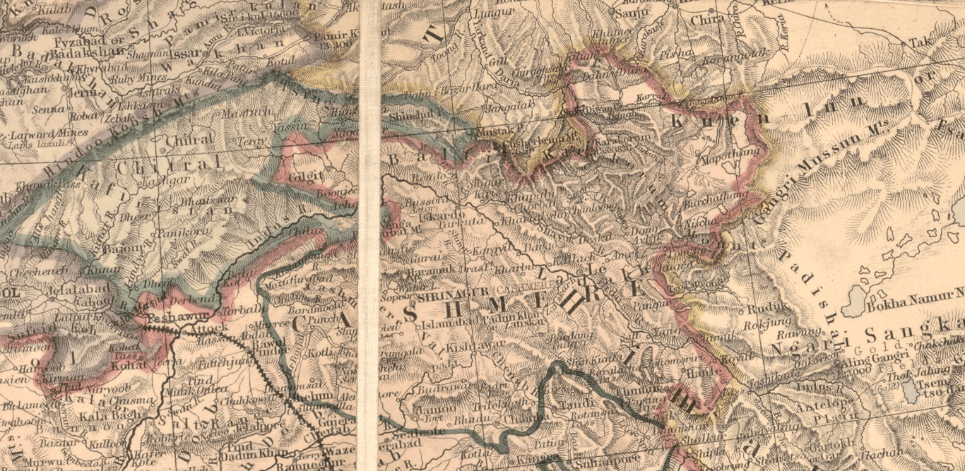
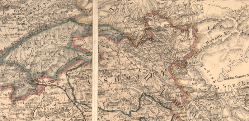
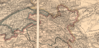
Image: Area of Kashmir
Description: Extract from map titled the "A Map of the Countries between Constantinople and Calcutta: including Turkey in Asia, Persia, Afghanistan and Turkestan" 1:7,000,000 published in 1885 by Edward Stanford Ltd., a London map seller and publishing house established in 1853 by Edward Stanford (1827–1904),Stanford's Geographical Establishment, London known for its London shop catering to famous explorers and political figures portraying the area comprising much of Kashmir including the valley of the Karakash in the Aksai Chin in Ladakh in eastern Kashmir comprising the area from the eastern Pangong Tso in Ladakh to the Kilian, Sanju-la, Hindutash and Yangi Passes in Ladakh in the Kuen Lun range in northern Ladakh up to the Khathaitum in the Kilian Valley in northern Ladakh.
Title: Area of Kashmir
Credit: Extract from map titled the "A Map of the Countries between Constantinople and Calcutta: including Turkey in Asia, Persia, Afghanistan and Turkestan" 1:7,000,000 published in 1885 by Edward Stanford Ltd., a London map seller and publishing house established in 1853 by Edward Stanford (1827–1904),Stanford's Geographical Establishment, London.
Author: Edward Stanford Ltd., established in 1853 by Edward Stanford (1827–1904),Stanford's Geographical Establishment, London.
Usage Terms: Public domain
License: Public domain
Attribution Required?: No
Image usage
The following page links to this image:
