
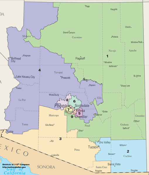
Image: Arizona Congressional Districts, 113th Congress
Size of this JPG preview of this TIF file: 509 × 599 pixels. Other resolution: 204 × 240 pixels.
Original image (1,288 × 1,516 pixels, file size: 298 KB, MIME type: image/tiff)
Description: Map of Congressional Districts in the state of Arizona, reflecting district boundaries current to the 113th United States Congress.
Title: Arizona Congressional Districts, 113th Congress
Credit: National Atlas of the United States
Author: Department of the Interior
Usage Terms: Public domain
License: Public domain
Attribution Required?: No
Image usage
The following page links to this image:

All content from Kiddle encyclopedia articles (including the article images and facts) can be freely used under Attribution-ShareAlike license, unless stated otherwise.