
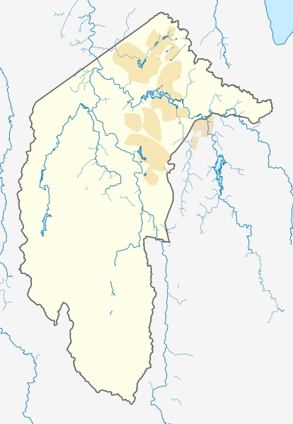
Image: Australia Capital Territory location map

Description: Location map of the Australian Capital Territory, Australia. Mercator projection. Geographic limits of the map: N: 35.1° S S: 35.96° S W: 148.72° E E: 149.45° E
Title: Australia Capital Territory location map
Credit: Own work, using OpenStreetMap data. Urban areas redrawn using OpenStreetMap data current at date above.
Author: Original Version: Carport Urban areas redrawn by: Nbound
Permission: Contains map data © OpenStreetMap contributors, made available under the terms of the Open Database License (ODbL). The ODbL does not require any particular license for maps produced from ODbL data; map tiles produced by the OpenStreetMap foundation are licensed under the CC-BY-SA-2.0 licence, but maps produced by other people may be subject to other licences.Open Database LicenseODbLhttp://opendatacommons.org/licenses/odbl/1.0/true This file is licensed under the Creative Commons Attribution-Share Alike 3.0 Unported license. You are free: to share – to copy, distribute and transmit the work to remix – to adapt the work Under the following conditions: attribution – You must attribute the work in the manner specified by the author or licensor (but not in any way that suggests that they endorse you or your use of the work). share alike – If you alter, transform, or build upon this work, you may distribute the resulting work only under the same or similar license to this one. http://creativecommons.org/licenses/by-sa/3.0 CC BY-SA 3.0 Creative Commons Attribution-Share Alike 3.0 truetrue
Usage Terms: Creative Commons Attribution-Share Alike 3.0
License: CC BY-SA 3.0
License Link: http://creativecommons.org/licenses/by-sa/3.0
Attribution Required?: Yes
Image usage
The following 25 pages link to this image:
- All Saints Church, Canberra
- Bimberi Peak
- Black Mountain (Australian Capital Territory)
- Braddon, Australian Capital Territory
- Brindabella Range
- Gibraltar Peak (Canberra)
- Jerrabomberra Wetlands
- Lake Burley Griffin
- Lake Ginninderra
- Molonglo River
- Mount Ainslie
- Mount Franklin (Australian Capital Territory)
- Mount Ginini
- Mount Majura
- Mount Taylor (Australian Capital Territory)
- Mount Tennent
- Mulligans Flat Woodland Sanctuary
- Namadgi National Park
- Red Hill, Australian Capital Territory
- St. Christopher's Cathedral, Manuka
- Stranger Pond
- Tidbinbilla Nature Reserve
- Uriarra Village, Australian Capital Territory
- Williamsdale, Australian Capital Territory
- Template:Location map Australian Capital Territory
