
Image: BES islands location map

Size of this PNG preview of this SVG file: 698 × 599 pixels. Other resolution: 280 × 240 pixels.
Original image (SVG file, nominally 1,346 × 1,156 pixels, file size: 177 KB)
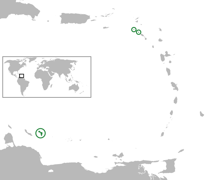
Description: (Green) Bonaire, Saba and Sint Eustatius (from left to right, BES islands) In the Caribbean Netherlands, Lesser Antilles, Caribbean. Equirectangular projection, N/S stretching 103 %. Geographic limits of the map: N: 19.2° N S: 9.7° N W: 70.5° W E: 59.1° W
Title: BES islands location map
Credit: Lesser_Antilles_location_map.svg BlankMap-World-noborders.png
Author: Lesser_Antilles_location_map.svg: NordNordWest BlankMap-World-noborders.png: Sanbec derivative work: Thayts (talk)
Usage Terms: Creative Commons Attribution-Share Alike 3.0
License: CC BY-SA 3.0
License Link: http://creativecommons.org/licenses/by-sa/3.0
Attribution Required?: Yes
Image usage
The following 2 pages link to this image:

All content from Kiddle encyclopedia articles (including the article images and facts) can be freely used under Attribution-ShareAlike license, unless stated otherwise.