
Image: Bay Minette Municipal Airport
Size of this preview: 600 × 600 pixels. Other resolutions: 240 × 240 pixels | 2,701 × 2,701 pixels.
Original image (2,701 × 2,701 pixels, file size: 3.03 MB, MIME type: image/jpeg)
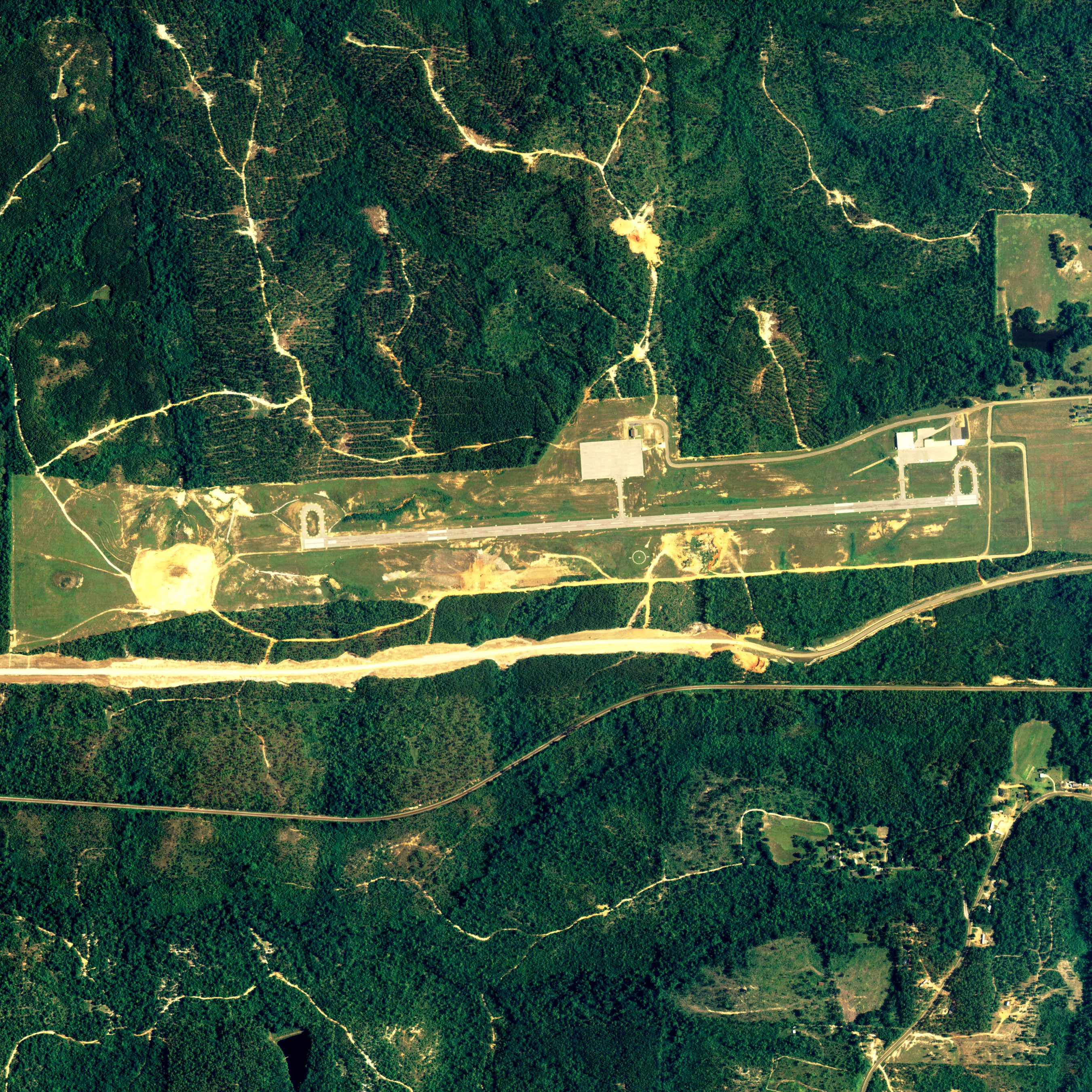
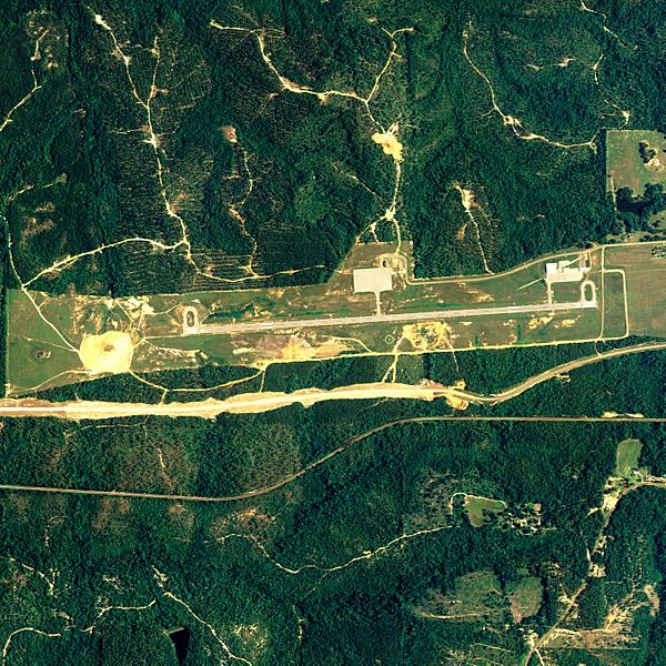
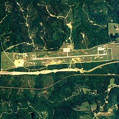
Description: Aerial image of Bay Minette Municipal Airport in Bay Minette, Alabama, United States
Title: Bay Minette Municipal Airport
Credit: National Agriculture Imagery Program (NAIP) Orthoimagery for Zone 16 Alabama State Quarter Quadrangle BAY MINETTE SOUTH, NW and I.D. # n_3008710_nw_16_1_20060630.tif
Author: United States Department of Agriculture (USDA), Farm Services Agency
Permission: Public domain
Usage Terms: Public domain
License: Public domain
Attribution Required?: No
Image usage
There are no pages that link to this image.

All content from Kiddle encyclopedia articles (including the article images and facts) can be freely used under Attribution-ShareAlike license, unless stated otherwise.