
Image: Bay of Bengal location map simple

Size of this PNG preview of this SVG file: 370 × 383 pixels. Other resolution: 232 × 240 pixels.
Original image (SVG file, nominally 370 × 383 pixels, file size: 335 KB)
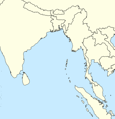
Description: A basic map of the Bay of Bengal intended for use with locator templates. Latitude extent: 31 to -4, longitude: 73.2 to 107. The coordinate system used is the equirectangular WGS 1984 (it makes it very easy to handle with the locator templates, but it's not really suitable for other uses).
Title: Bay of Bengal location map simple
Credit: Own work
Author: Uanfala
Usage Terms: Creative Commons Attribution-Share Alike 4.0
License: CC BY-SA 4.0
License Link: https://creativecommons.org/licenses/by-sa/4.0
Attribution Required?: Yes
Image usage
The following 2 pages link to this image:

All content from Kiddle encyclopedia articles (including the article images and facts) can be freely used under Attribution-ShareAlike license, unless stated otherwise.