
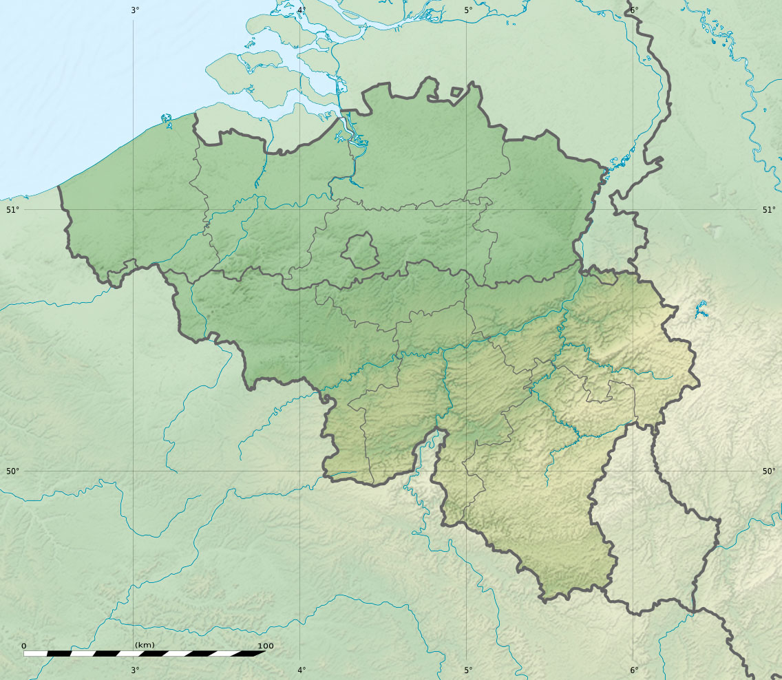
Image: Belgium relief location map
Description: Physical location map of Belgium, for geo-location purposes.
Title: Belgium relief location map
Credit: Topographic background map: Own work Sources of data: SRTM30 Plus NASA SRTM3 & SWBD (public domain) NGDC World Data Bank II (public domain) Part of the rivers: OpenStreetMap (CC-BY-SA 2.0) All boundaries taken from File:Belgium_location_map.svg created by NordNordWest under GFDL/CC-BY-SA 3.0
Author: Eric Gaba (Sting - fr:Sting) and NordNordWest
Permission: Attribution and Share-Alike required Any use of this map can be made as long as you credit me (Eric Gaba – Wikimedia Commons user: Sting) , Wikimedia Commons user: NordNordWest and OpenStreetMap as the authors and distribute the copies and derivative works under the same license(s) that the one(s) stated below. A message with a reply address would also be greatly appreciated.
Usage Terms: Creative Commons Attribution-Share Alike 3.0
License: CC BY-SA 3.0
License Link: http://creativecommons.org/licenses/by-sa/3.0
Attribution Required?: Yes
Image usage
