
Image: Biggsaaf-28jan1996

Size of this preview: 800 × 576 pixels. Other resolutions: 320 × 230 pixels | 866 × 623 pixels.
Original image (866 × 623 pixels, file size: 131 KB, MIME type: image/jpeg)
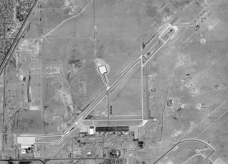
Description: USGS digital orthophoto of Biggs Army Airfield, north of El Paso International Airport (former El Paso Army Airfield), in Texas, United States.
Title: Biggsaaf-28jan1996
Credit: USGS The National Map, via MSR Maps (formerly TerraServer-USA) 1996 image: http://msrmaps.com/map.aspx?t=1&s=13&lat=31.8315&lon=-106.3825&w=800&h=1000 2002 image: http://msrmaps.com/map.aspx?t=4&s=13&lat=31.8315&lon=-106.3825&w=800&h=1000
Author: United States Geological Survey (USGS)
Permission: Public domain
Usage Terms: Public domain
License: Public domain
Attribution Required?: No
Image usage
The following page links to this image:

All content from Kiddle encyclopedia articles (including the article images and facts) can be freely used under Attribution-ShareAlike license, unless stated otherwise.