
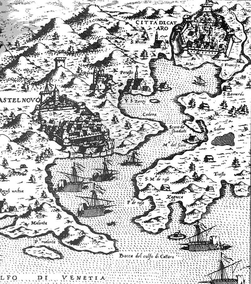
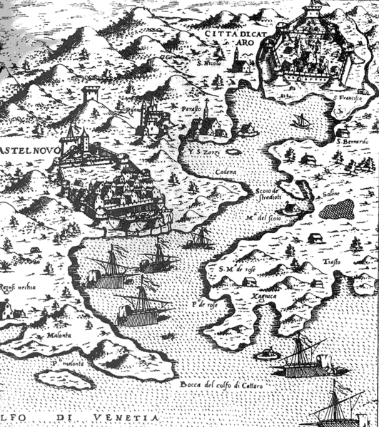
Image: Boka oldmap
Size of this preview: 531 × 599 pixels. Other resolutions: 213 × 240 pixels | 800 × 903 pixels.
Original image (800 × 903 pixels, file size: 101 KB, MIME type: image/gif)
Description: An old 16th century map of Kotor bay, Montenegro
Title: Boka oldmap
Credit: English Wikipedia / National Archive of Kotor, Montenegro
Author: ? (uploaded by User:Orjen)
Usage Terms: Public domain
License: Public domain
Attribution Required?: No
Image usage
The following 4 pages link to this image:

All content from Kiddle encyclopedia articles (including the article images and facts) can be freely used under Attribution-ShareAlike license, unless stated otherwise.