
Image: Breezewood PA airphoto aug2010
Size of this preview: 800 × 600 pixels. Other resolutions: 320 × 240 pixels | 830 × 622 pixels.
Original image (830 × 622 pixels, file size: 131 KB, MIME type: image/jpeg)
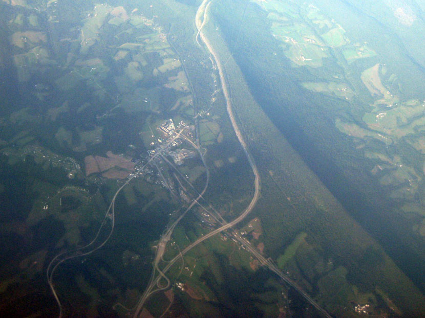
Description: Oblique air photo of Breezewood and vicinity, facing northeast, and showing Interstate 70, the Pennsylvania Turnpike, U.S. Route 30, and Rays Hill in Bedford and Fulton Counties. 22 August 2010.
Title: Breezewood PA airphoto aug2010
Credit: Transferred from en.wikipedia to Commons by SchuminWeb using CommonsHelper.
Author: Jstuby at English Wikipedia
Usage Terms: Public domain
License: Public domain
Attribution Required?: No
Image usage
The following page links to this image:

All content from Kiddle encyclopedia articles (including the article images and facts) can be freely used under Attribution-ShareAlike license, unless stated otherwise.