
Image: British Empire in 1898
Size of this preview: 800 × 348 pixels. Other resolutions: 320 × 139 pixels | 1,434 × 624 pixels.
Original image (1,434 × 624 pixels, file size: 31 KB, MIME type: image/png)
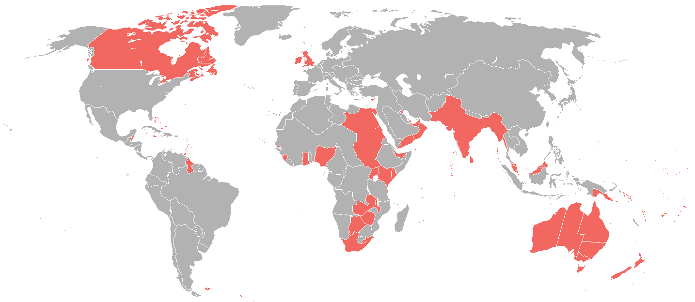
Description: A map of the British Empire as it was in 1898, prior to the Second Boer War (1899-1902).
Title: British Empire in 1898
Credit: https://commons.wikimedia.org/wiki/File:World_1898_empires_colonies_territory.png
Author: User:Roke~commonswiki
Permission: https://commons.wikimedia.org/wiki/File:World_1898_empires_colonies_territory.png
Usage Terms: Creative Commons Attribution-Share Alike 3.0
License: CC BY-SA 3.0
License Link: http://creativecommons.org/licenses/by-sa/3.0
Attribution Required?: Yes
Image usage

All content from Kiddle encyclopedia articles (including the article images and facts) can be freely used under Attribution-ShareAlike license, unless stated otherwise.