
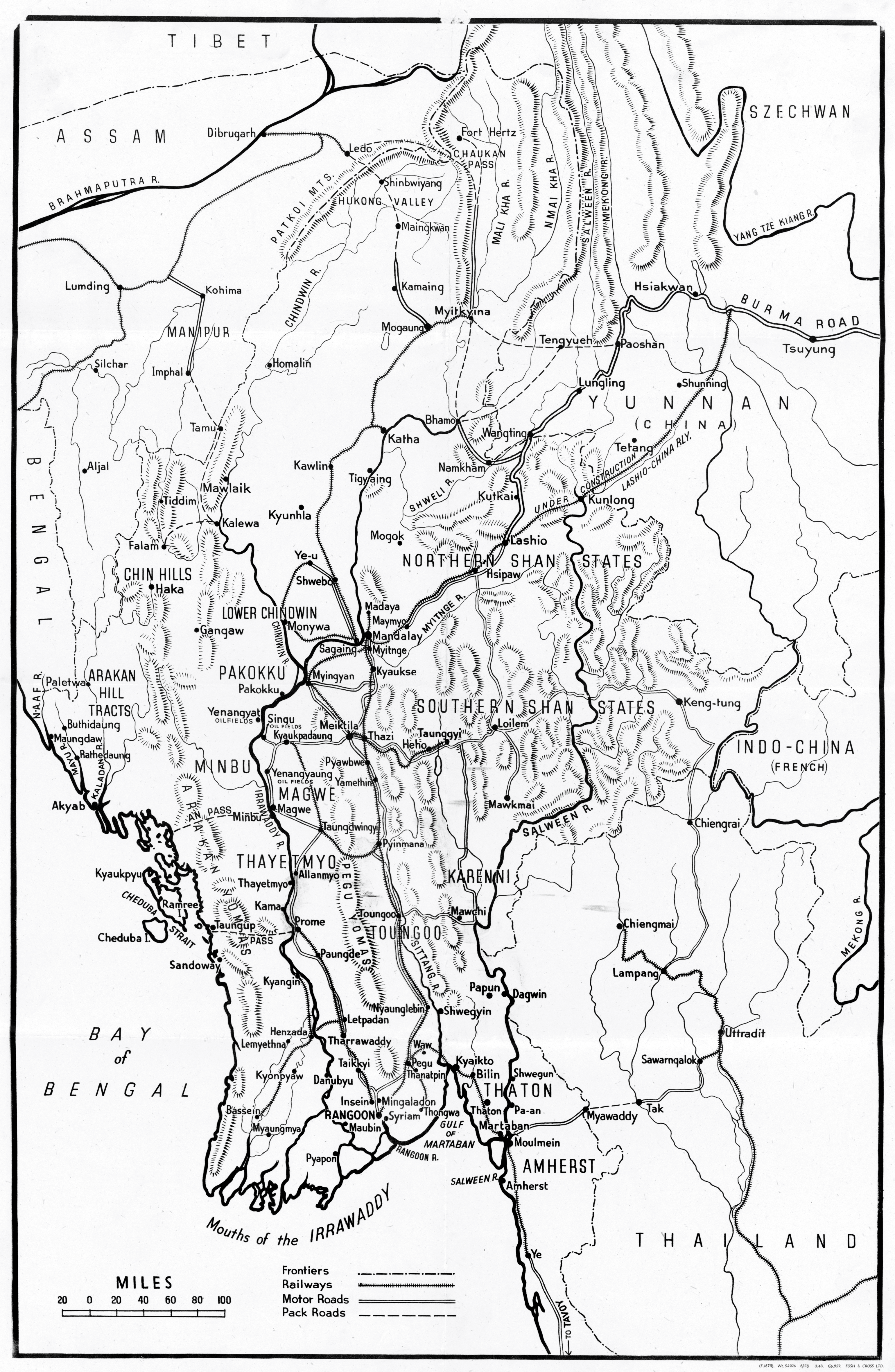
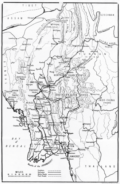
Image: Burma - Map of Frontiers, Railways, Motor Roads, and Pack Roads (UK World War II poster), circa 1941 (44268345)
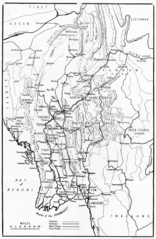
Size of this preview: 391 × 599 pixels. Other resolutions: 156 × 240 pixels | 3,081 × 4,723 pixels.
Original image (3,081 × 4,723 pixels, file size: 8.59 MB, MIME type: image/png)
Description: UK Second World War poster: "Burma: Map of Frontiers, Railways, Motor Roads, and Pack Roads".
Title: Burma - Map of Frontiers, Railways, Motor Roads, and Pack Roads (UK World War II poster), circa 1941 (44268345)
Credit: This tag does not indicate the copyright status of the attached work. A normal copyright tag is still required. See Commons:Licensing.
Author: UK government. U.S. Office for Emergency Management. Office of War Information. Domestic Operations Branch. Bureau of Special Services.
Usage Terms: Public domain
License: Public domain
Attribution Required?: No
Image usage
The following page links to this image:

All content from Kiddle encyclopedia articles (including the article images and facts) can be freely used under Attribution-ShareAlike license, unless stated otherwise.
,_circa_1941_(44268345).png)