
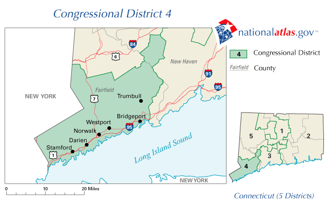
Image: CT 4th Congressional District
No higher resolution available.
CT_4th_Congressional_District.png (640 × 405 pixels, file size: 23 KB, MIME type: image/png)
Description: Map of Connecticut's 4th congressional district. Downloaded from http://nationalatlas.gov/printable/images/preview/congdist/ct04_109.gif and converted to PNG.
Title: CT 4th Congressional District
Credit: Government of the United States
Author: Government of the United States
Usage Terms: Public domain
License: Public domain
Attribution Required?: No
Image usage
The following page links to this image:

All content from Kiddle encyclopedia articles (including the article images and facts) can be freely used under Attribution-ShareAlike license, unless stated otherwise.