
Image: Canada, New Brunswick and Nova Scotia by Sidney Hall CTASC
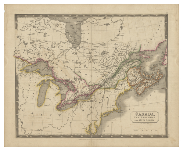
Description: British map from 1830 showing Canada, New Brunswick and Nova Scotia. Cities, towns and bodies of water are labelled. Regional districts are outlined. The province of Lower Canada is outlined in green, while other provinces and territories are coloured red. Northeastern and midwestern parts of the United States can be seen, but with much less detail. Published as part of A new general atlas.
Title: Canada, New Brunswick and Nova Scotia by Sidney Hall
Credit: York University Libraries, Clara Thomas Archives & Special Collections, Historical map collection, HMC0016. http://digital.library.yorku.ca/islandora/object/yul:1153577
Author: Sidney Hall
Usage Terms: Public domain
License: Public domain
Attribution Required?: No
Image usage
The following page links to this image:
