
Image: Canvey Island OSM map 2010

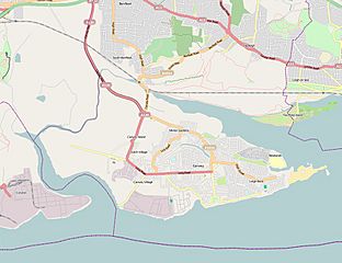
Description: Map of Canvey Island (Essex, United Kingdom) and its surrounding areas.
Title: Canvey Island OSM map 2010
Credit: OpenStreetMap
Author: The OpenStreetMap Project.
Permission: This file is licensed under the Creative Commons Attribution 2.0 Generic license. You are free: to share – to copy, distribute and transmit the work to remix – to adapt the work Under the following conditions: attribution – You must attribute the work in the manner specified by the author or licensor (but not in any way that suggests that they endorse you or your use of the work). http://creativecommons.org/licenses/by/2.0 CC BY 2.0 Creative Commons Attribution 2.0 truetrue
Usage Terms: Creative Commons Attribution 2.0
License: CC BY 2.0
License Link: http://creativecommons.org/licenses/by/2.0
Attribution Required?: Yes
Image usage
The following page links to this image:
